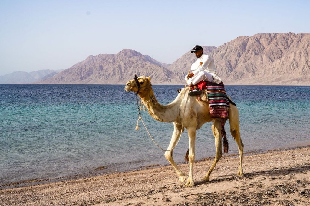
We’re at Nuweiba. I saw this guy riding his camel on the beach this morning. The first language he tried with me was Hebrew. It turned out he knew English quite well. It’s intriguing to me how they pick which language to use with a stranger.
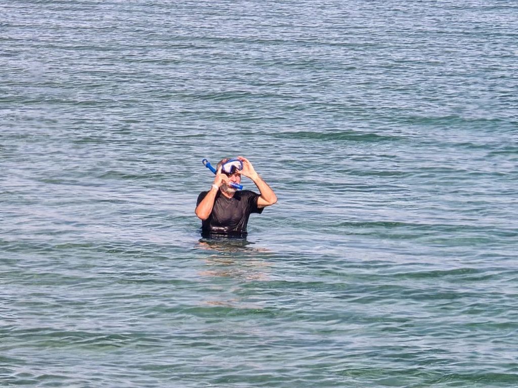
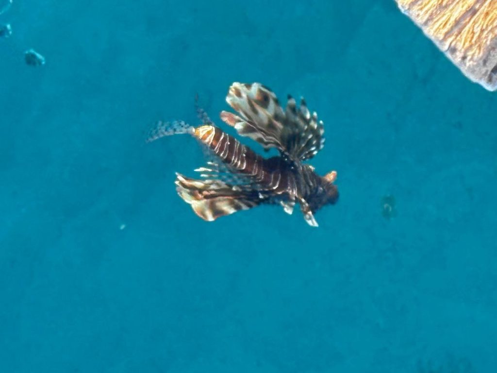
I did a bit of snorkeling at Nuweiba Beach. I saw some lionfish. No chariot wheels. 😀 Photo by our guide, Dr Mustafa Anas.
Lionfish, photo by Christi Pedrow
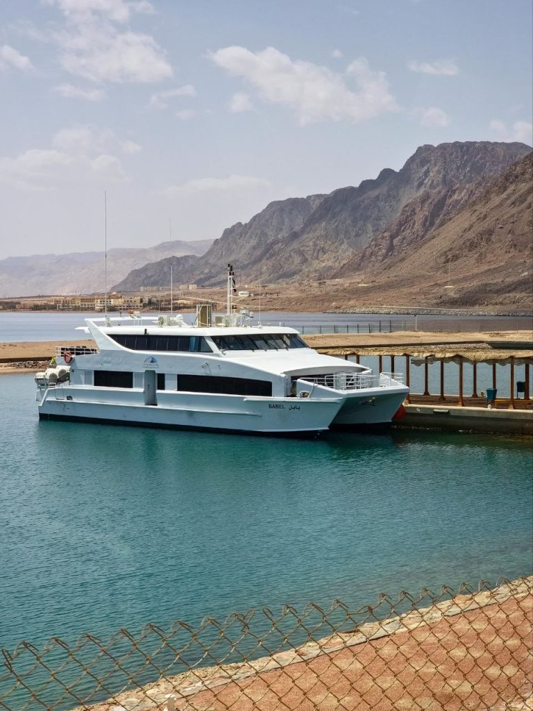
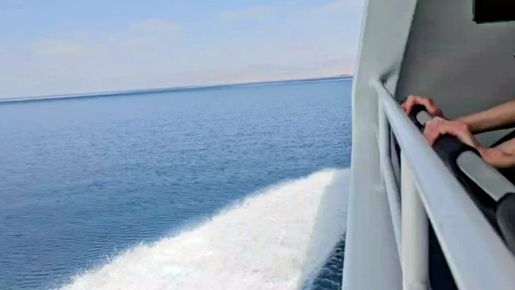
Change of plans. Not everyone got their Israel entry permit in time. Instead of going by land through Israel, we’re crossing by boat directly to Jordan. Sort of like a Red Sea crossing, Nuweiba version.
🎶 …that’s how we got across… 🎶
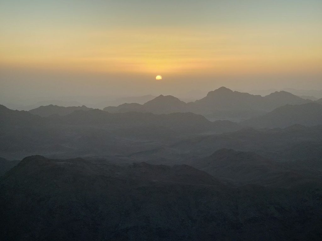
Wednesday, April 8
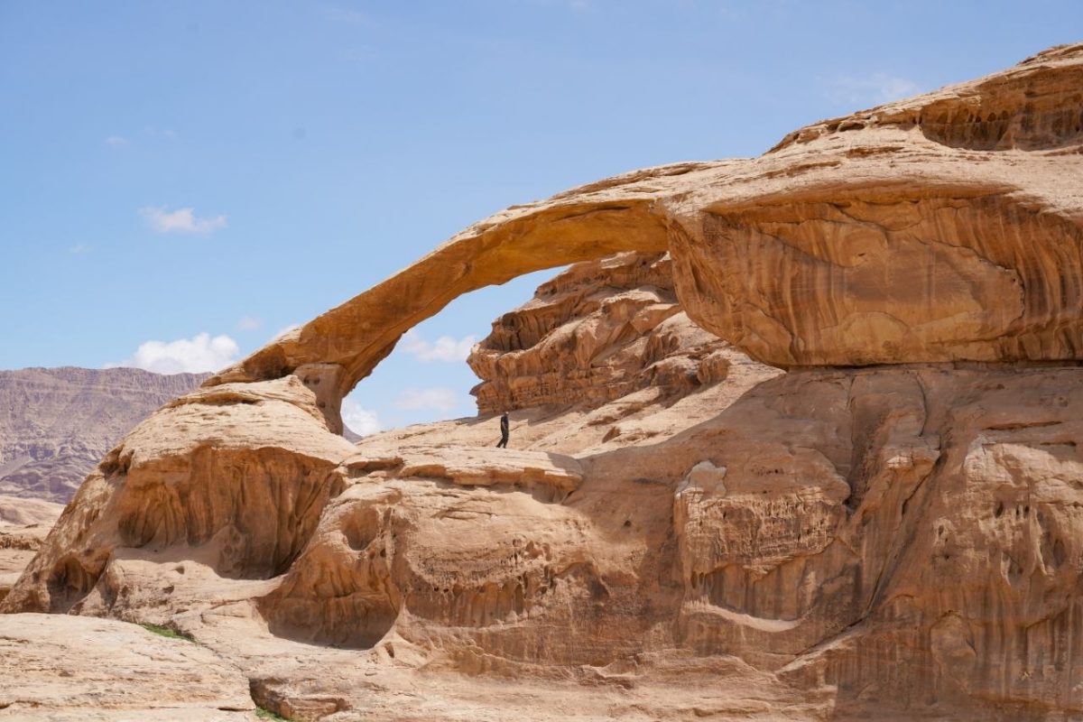
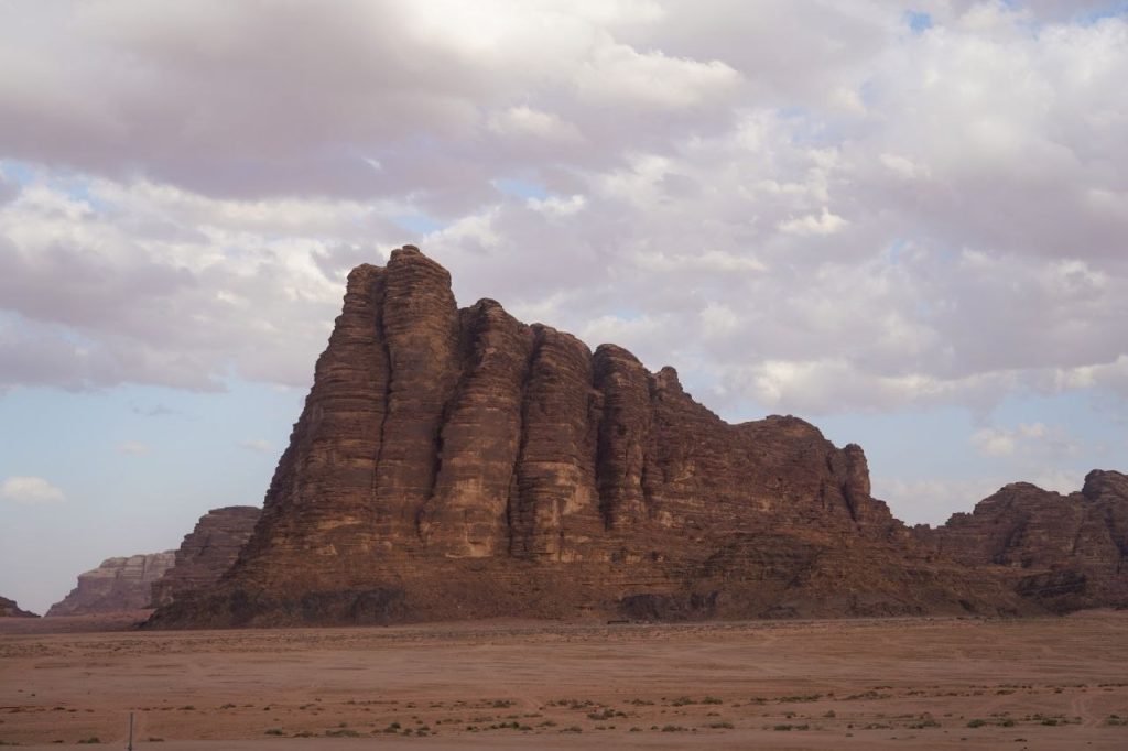
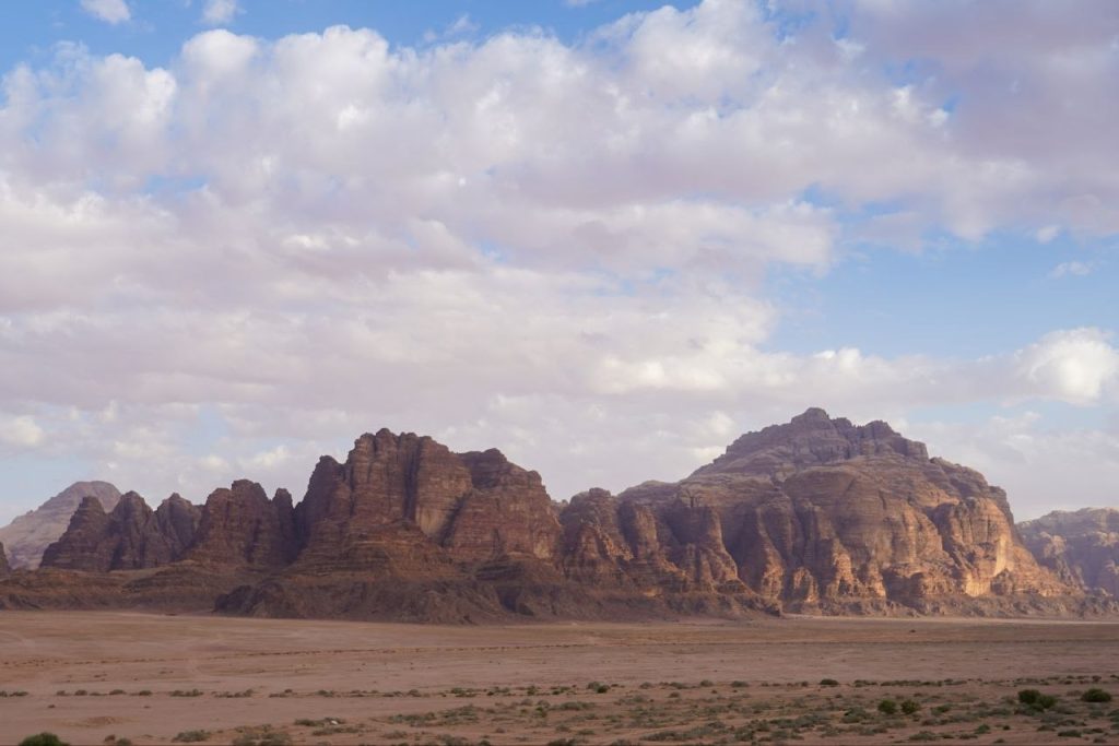
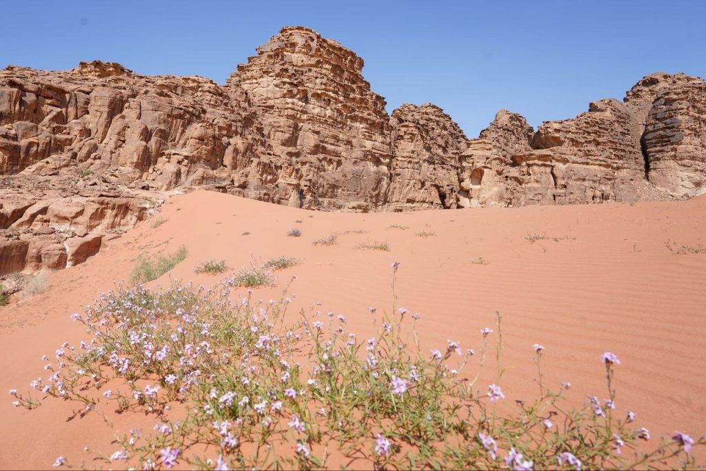
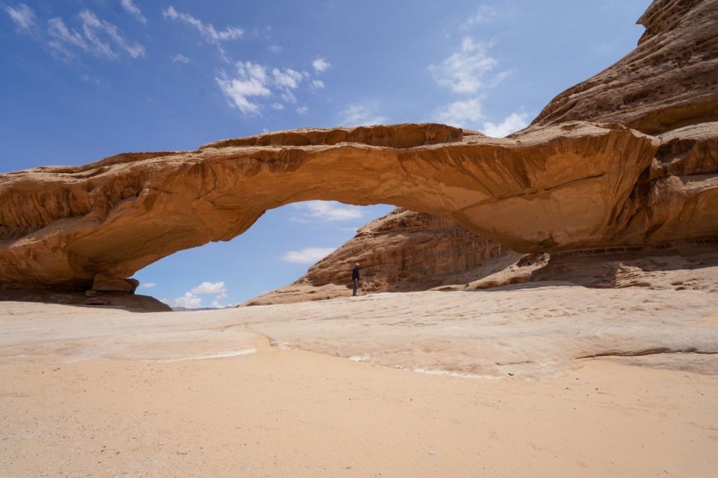
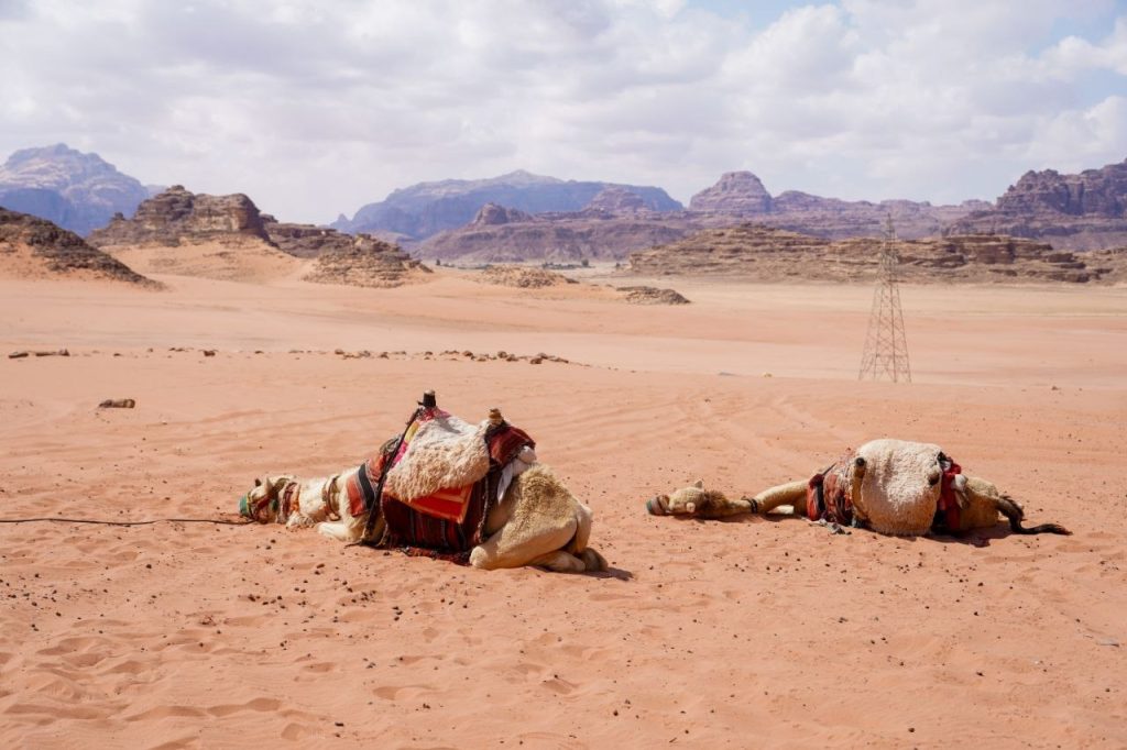
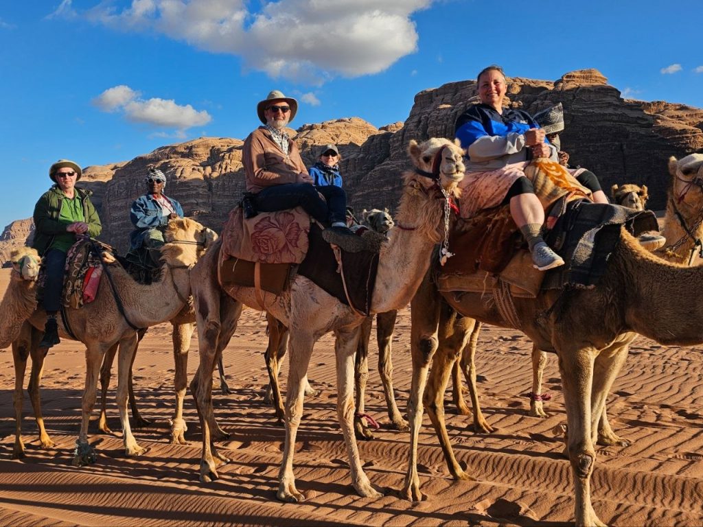
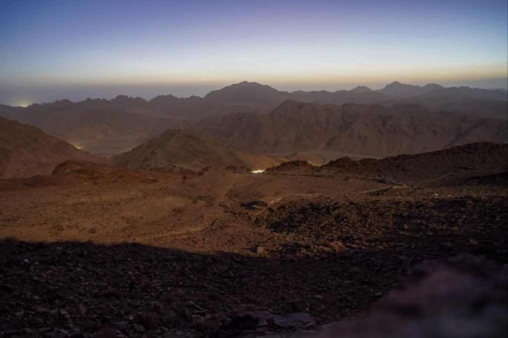
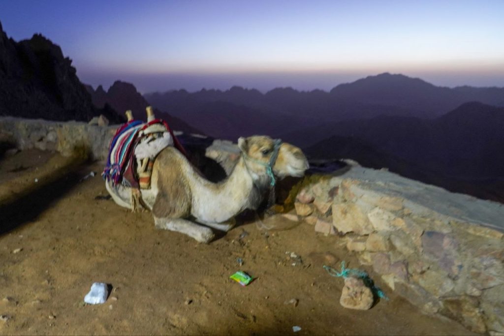
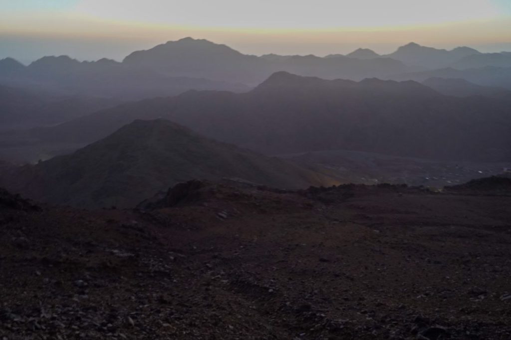
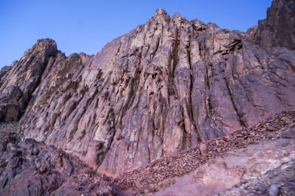
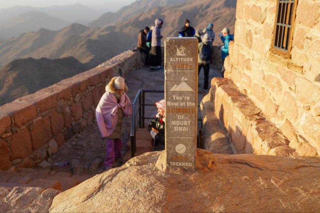
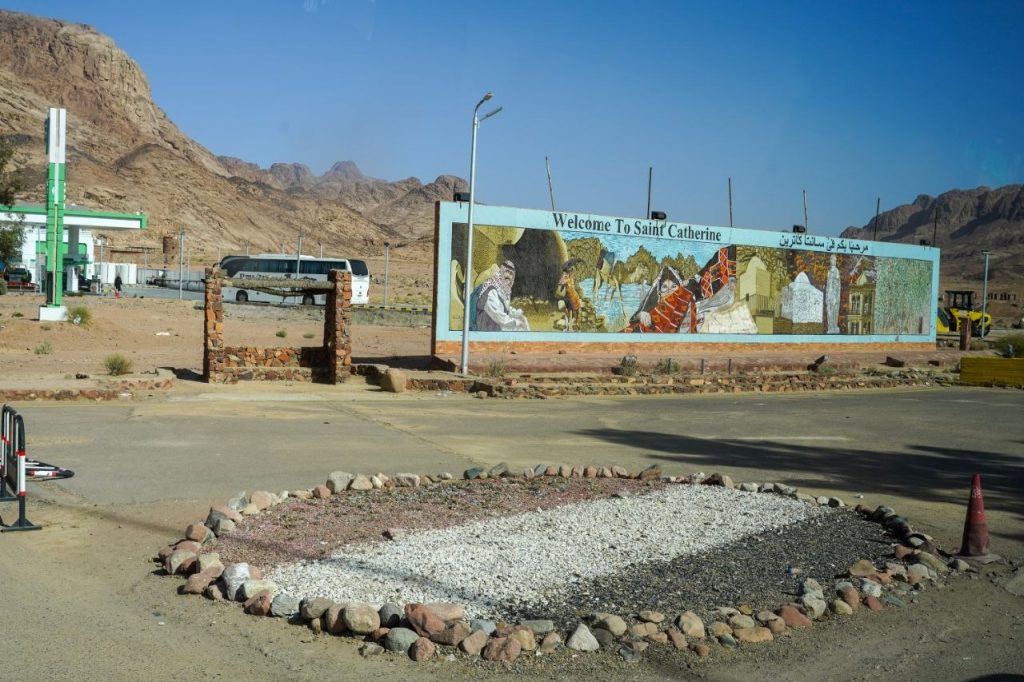
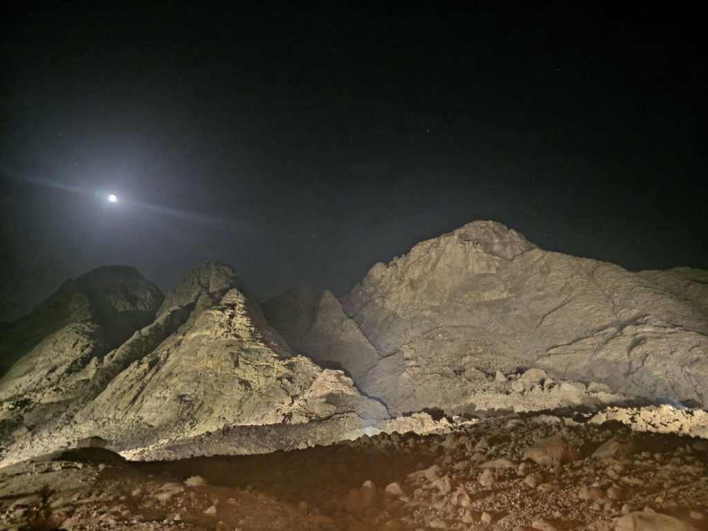
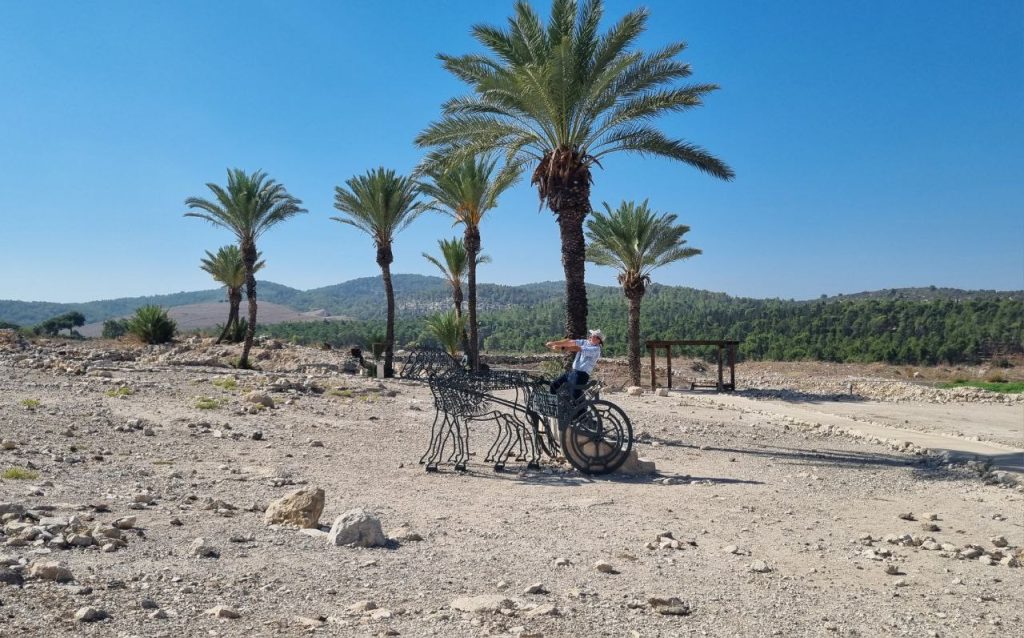
We’re in the land of Edom (Wadi Rum). This formation is named Seven Pillars of Wisdom.
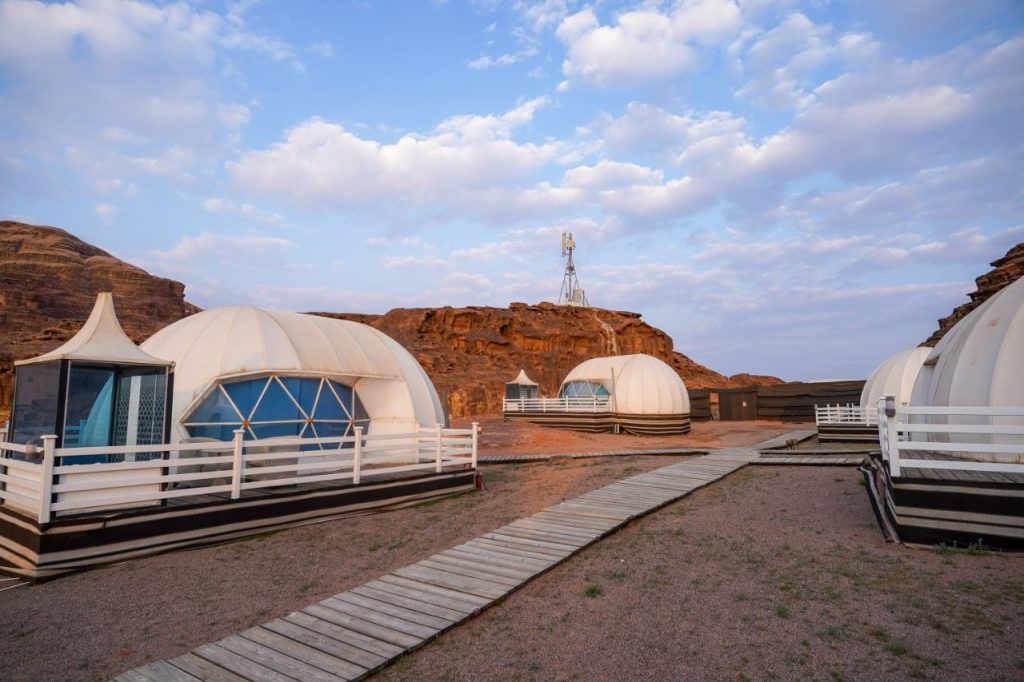
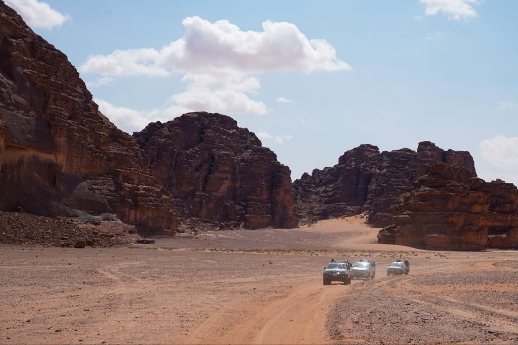
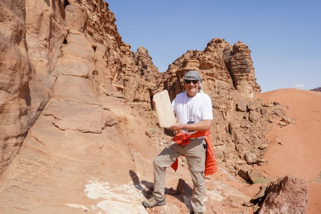
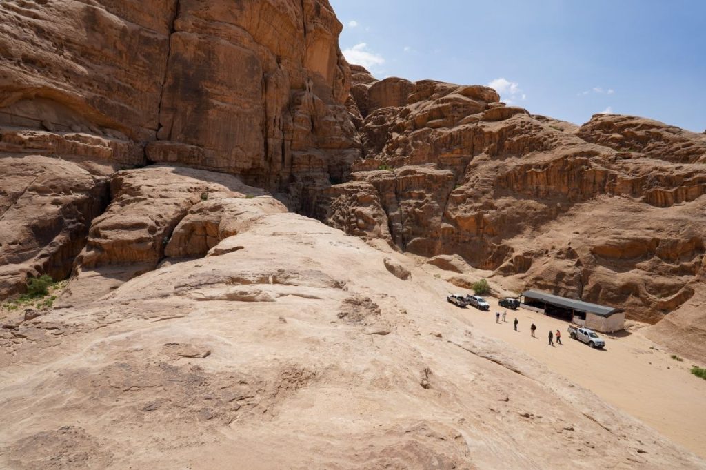
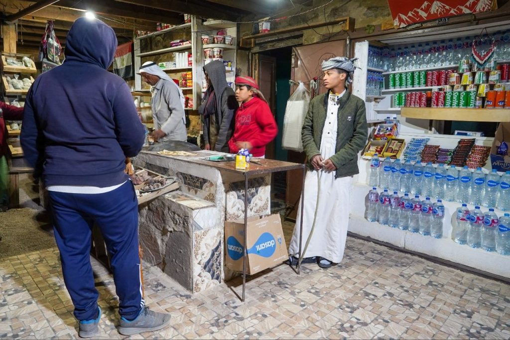
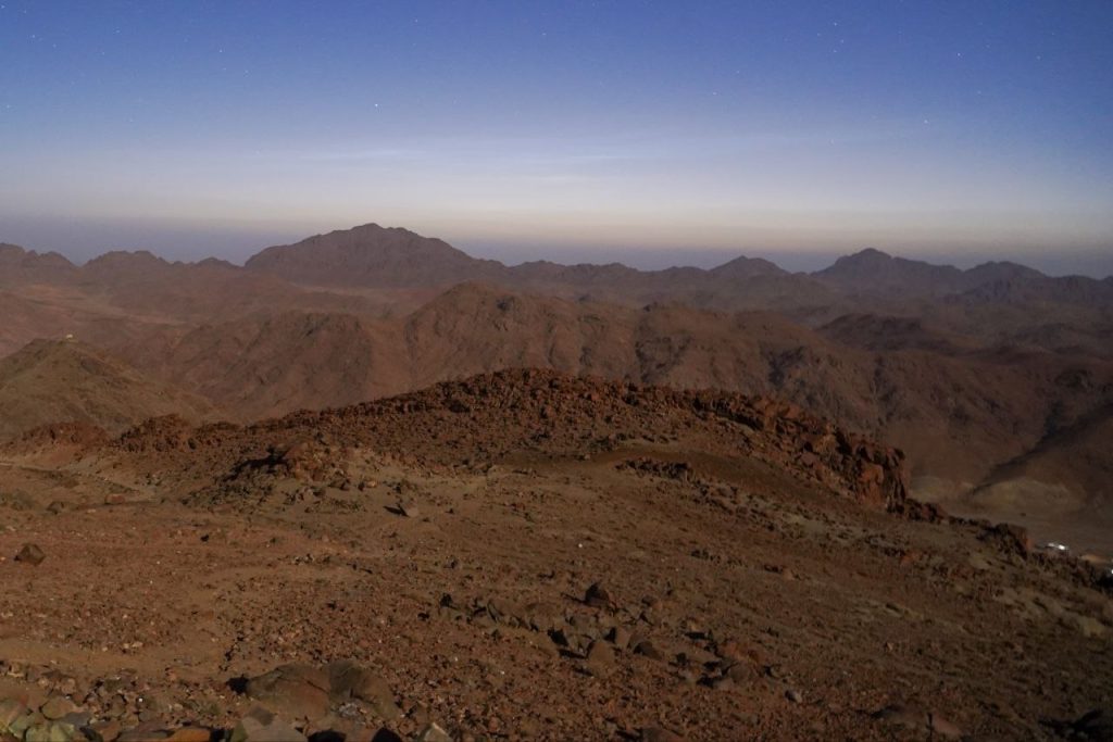
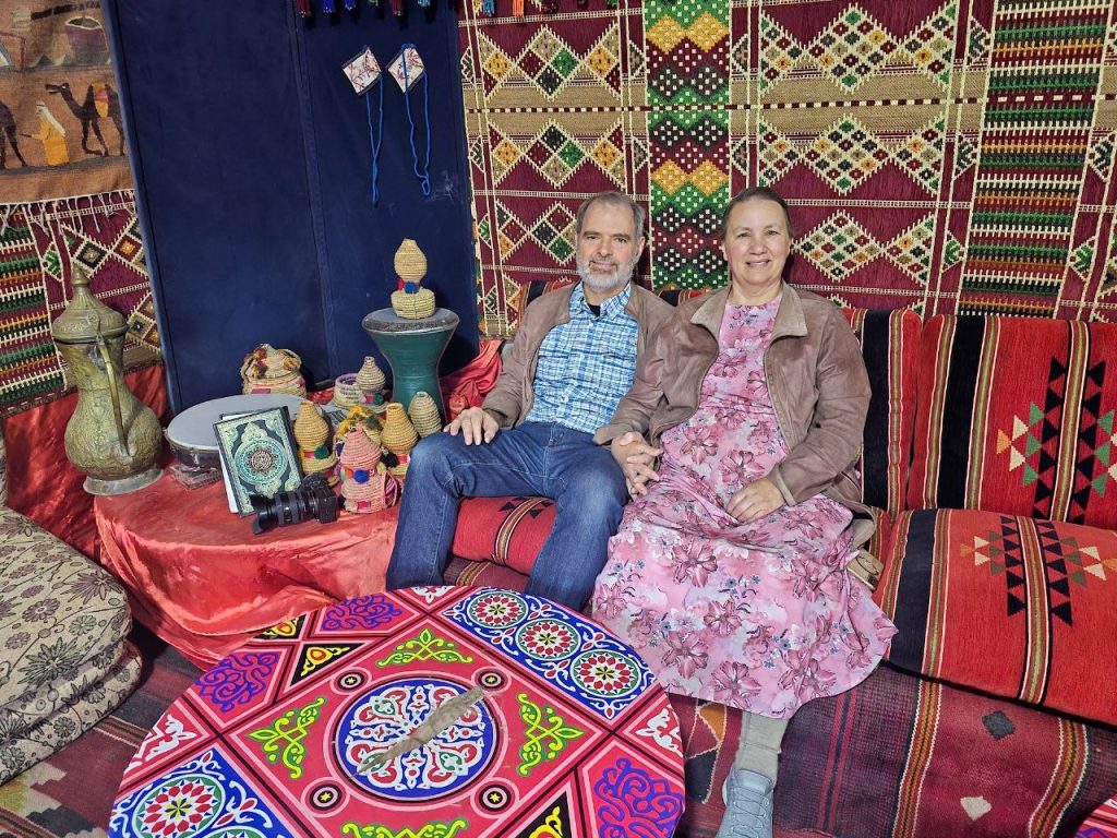
We’re staying in a desert camp for two nights.
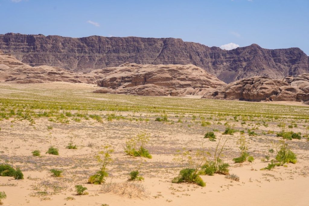
Edom means red in Hebrew. Esau’s descendants lived here. Wadi Rum is sometimes called valley of the moon because of the landscape’s appearance.
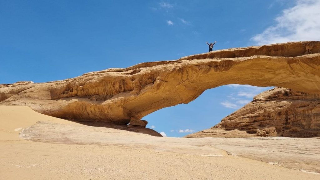
Wadi Rum has arches!
We’re in a caravan of four Toyotas.
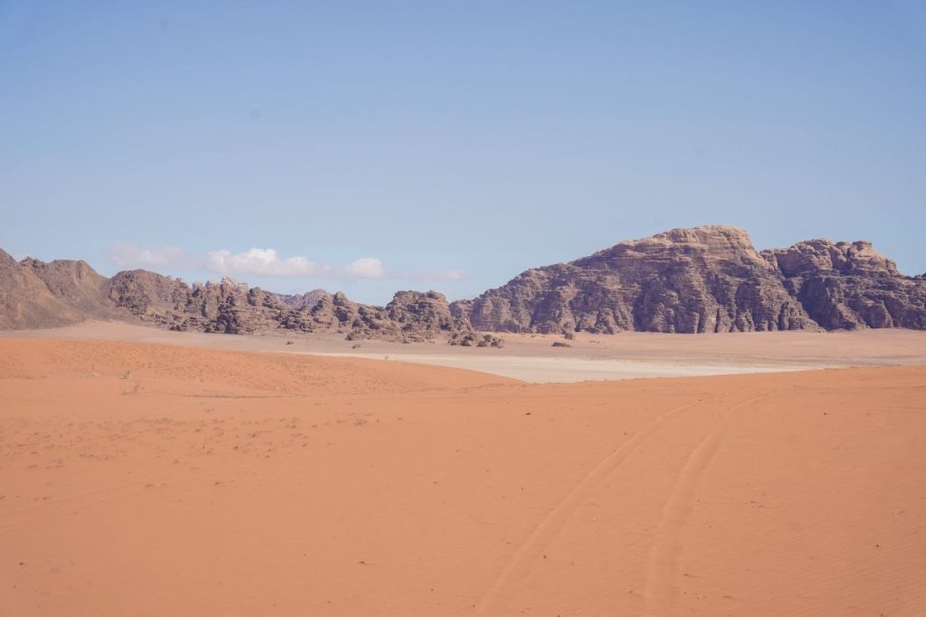
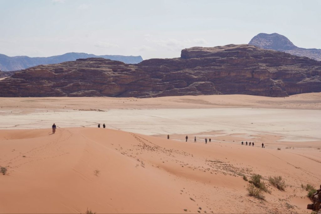
The white sand is where the water collects when it rains.
April 5 – Our teacher, Dr Randall Smith, started our day with a comparison of Moses and Jesus. He wrote it last night at 3 AM when he couldn’t sleep. We’re in Egypt, studying about Moses and the Passover. Today is Easter, so we think of Jesus and His resurrection. There are many parallels between Moses and Jeses. Both came after centuries of silence. Both fed multitudes of people, sent twelve, brought a message from God on a mountain, miracles with water, deliverance through blood, the king was killing babies when they were born, and on and on.
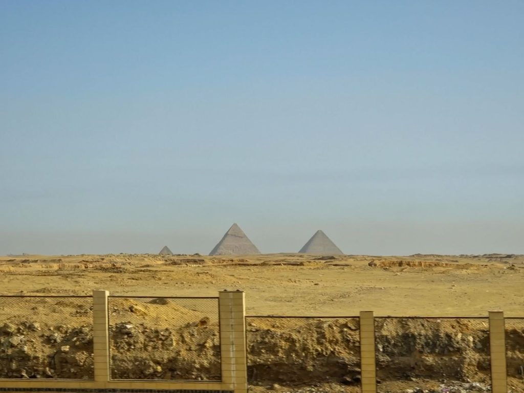
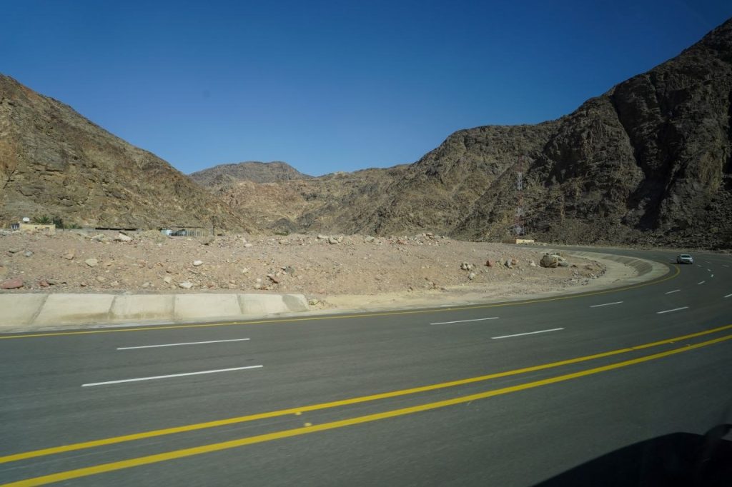
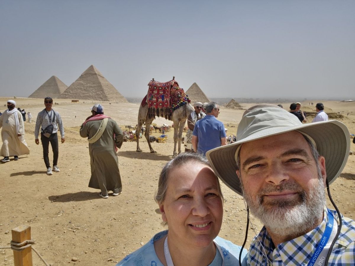
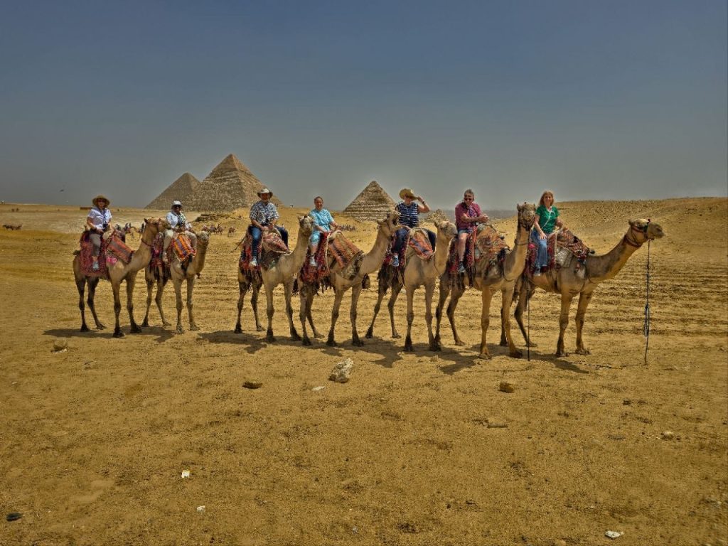
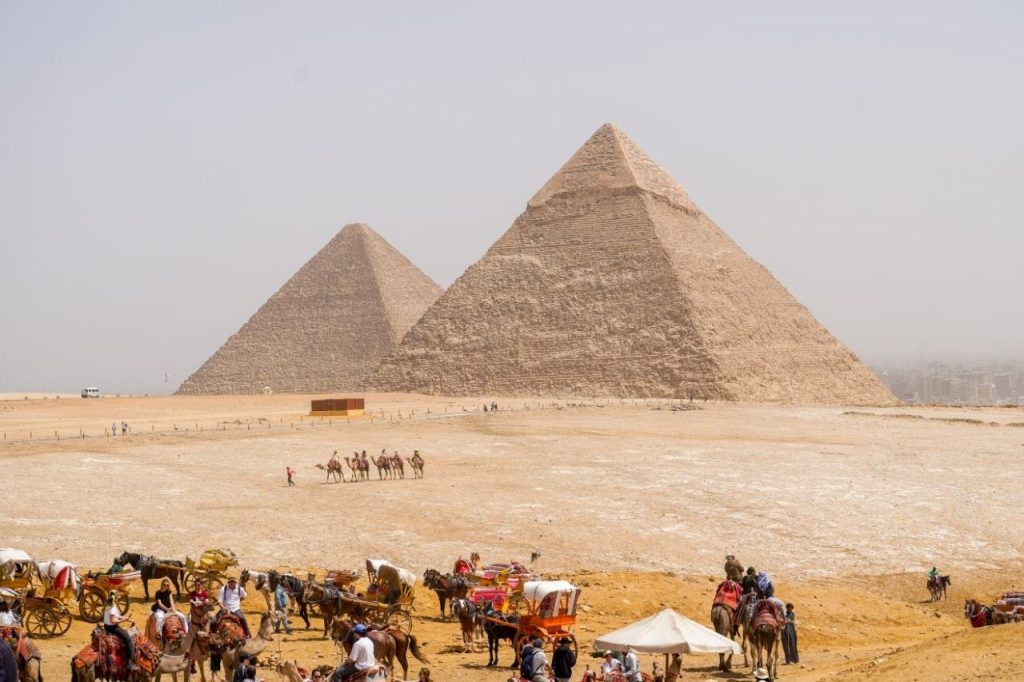
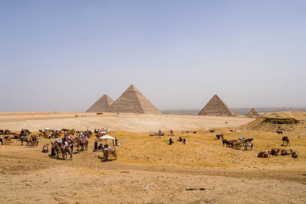
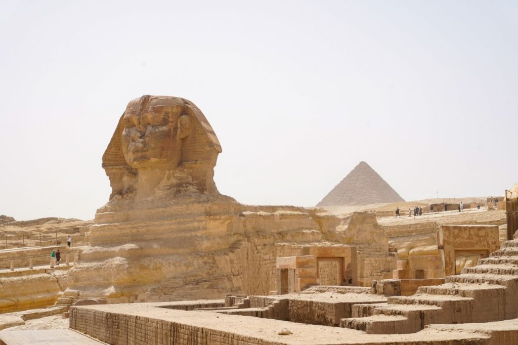
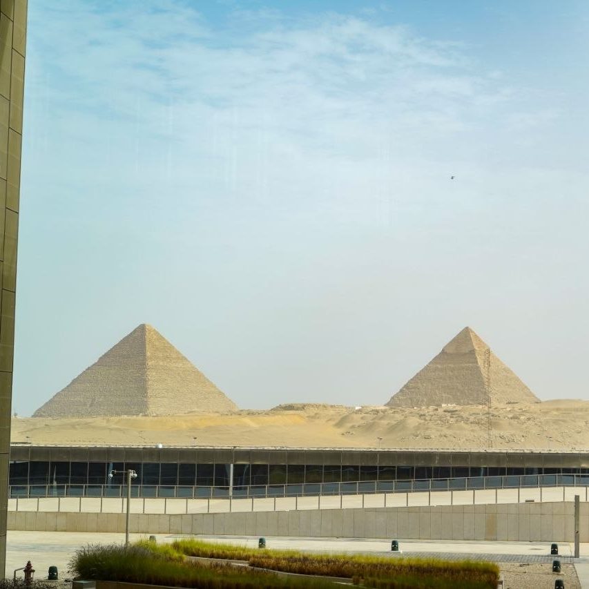
We’re leaving the Cairo/Giza area and driving toward Sinai. We got one last glimpse of the pyramids from the highway.
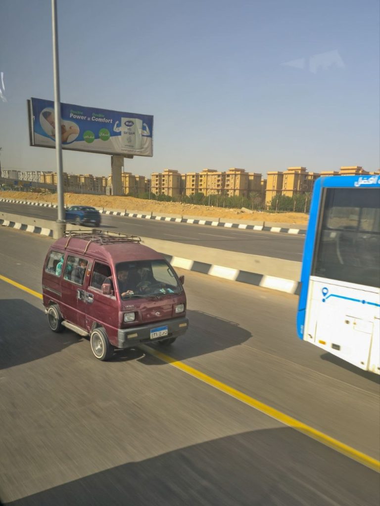
We see these miniature vans.
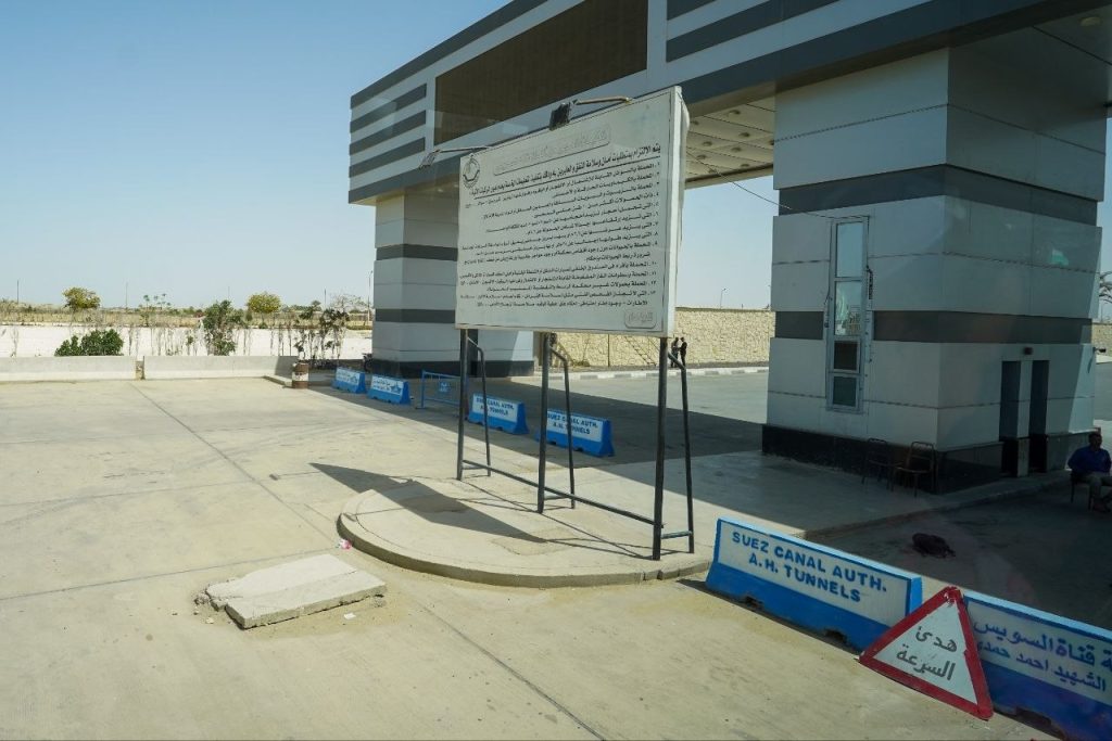
We crossed under the Suez Canal in a tunnel.
We crossed from Africa to the continent of Asia. During the crossing, Randy spoke on Exodus 14 and the Israelites’ crossing.
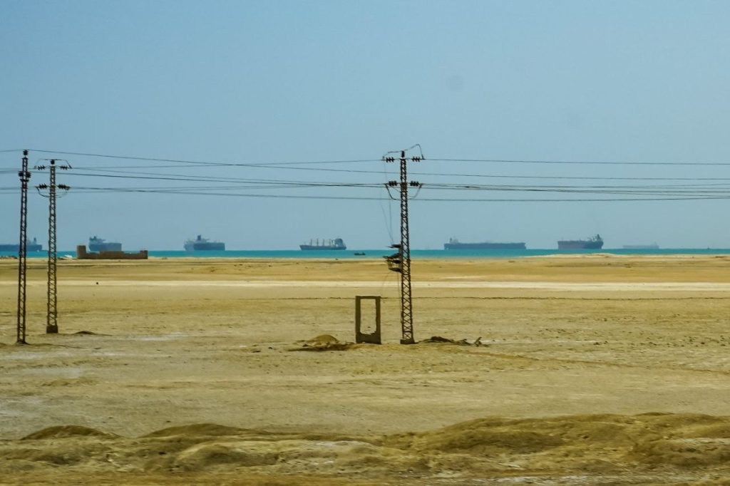
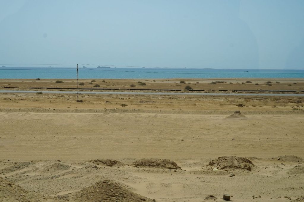
There are ships waiting to go through the canal. Not as many as usual because of the Hormuz Strait closure.
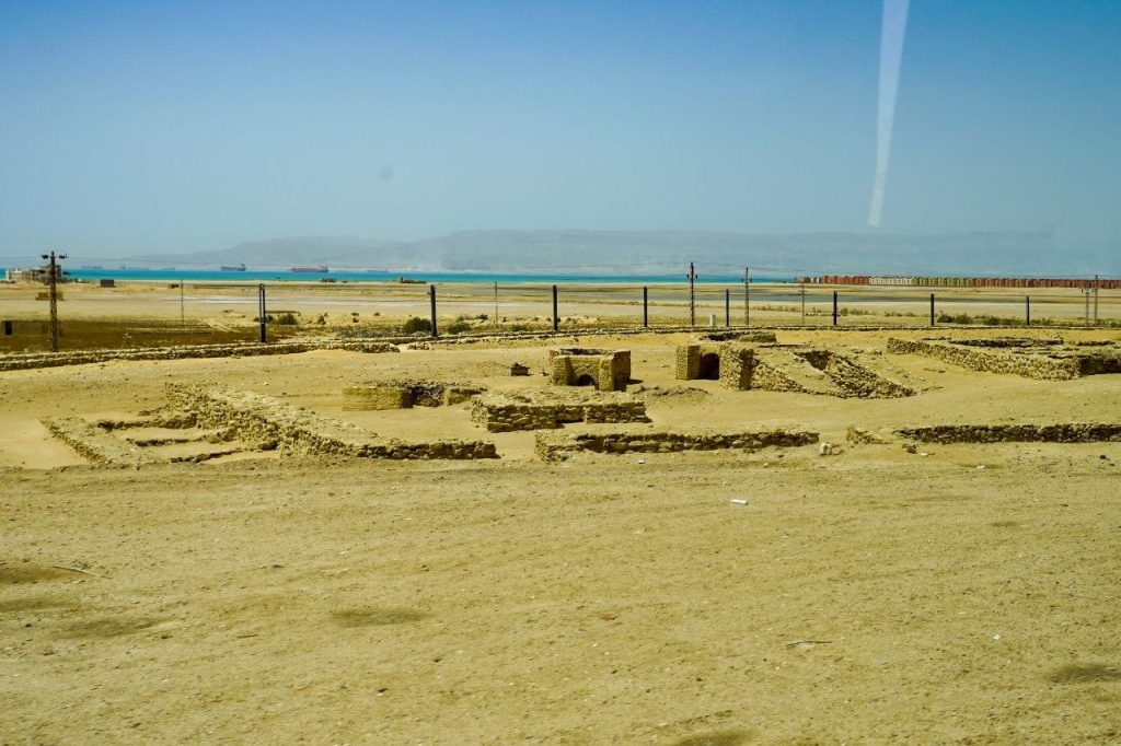
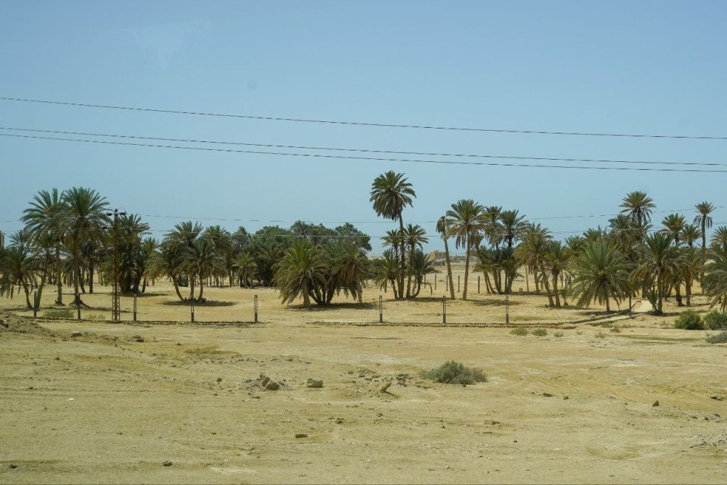
Some ruins I caught near Ayun Musa – Springs of Moses
“Seventy palm trees and twelve wells of water”
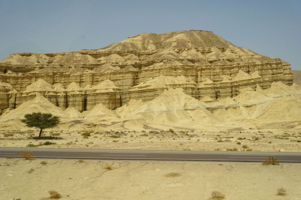
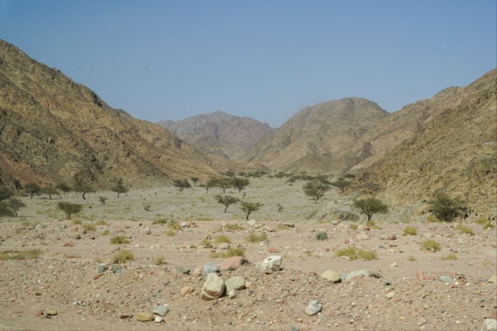
As we traveled south into the Sinai Peninsula we saw rugged wilderness and acacia trees.
Sometimes we could see the Gulf of Suez.
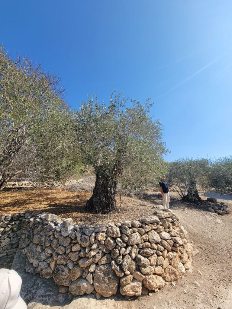
More acacias, but not as big as the ones in Saudi Arabia. Randy said the Saudis started protecting them sooner. They are very slow growing and take 300 years to get really large. The tabernacle boards had to be glued together. He said the sap of the acacia can be boiled down to make a very strong glue.
The roads are good. The military builds roads. This Roman arrangement works well.
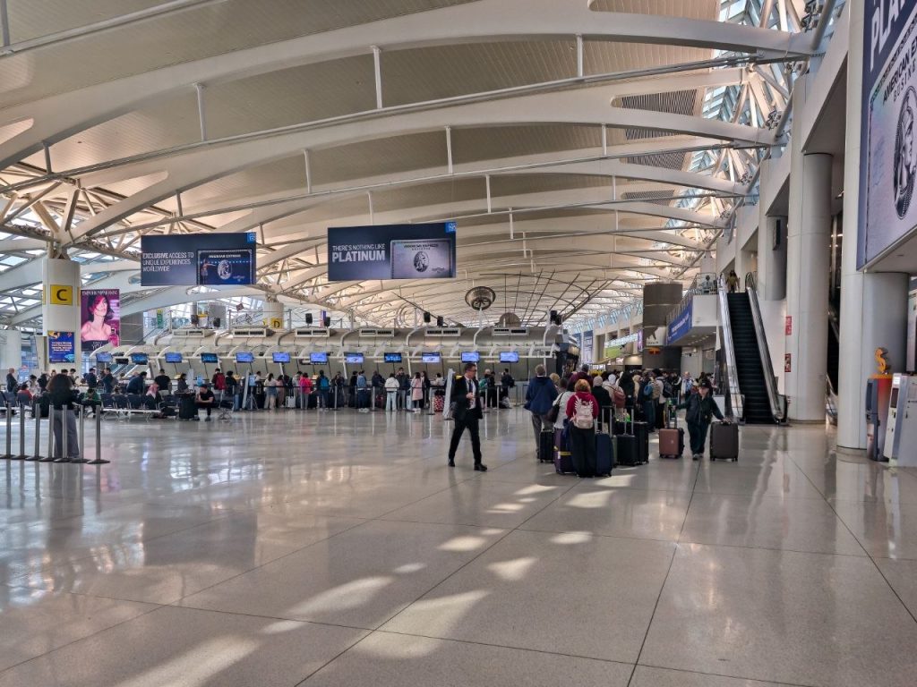
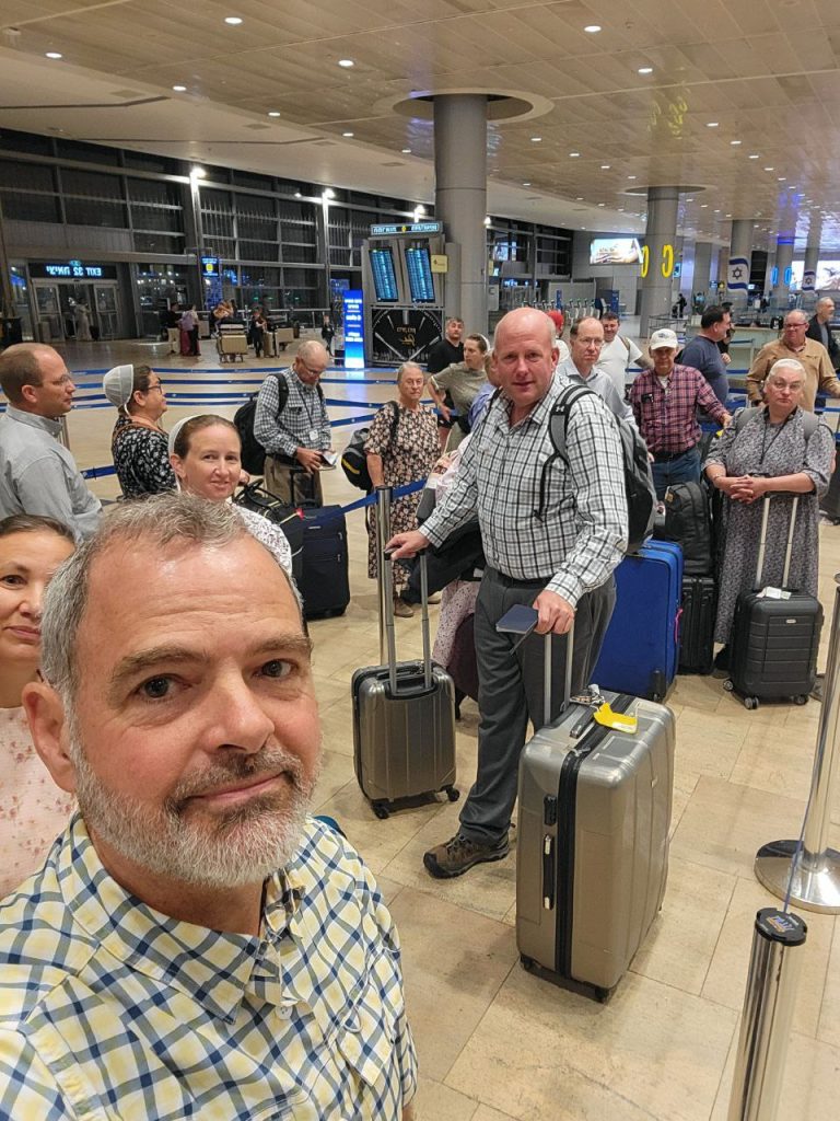
April 1–We drove to JFK this morning. Flying to Istanbul, then Cairo, God willing. We are joining a Life of Moses study trip.
April 2–We’re touring Old Cairo.
The air is filled with fine dust because of a recent storm.
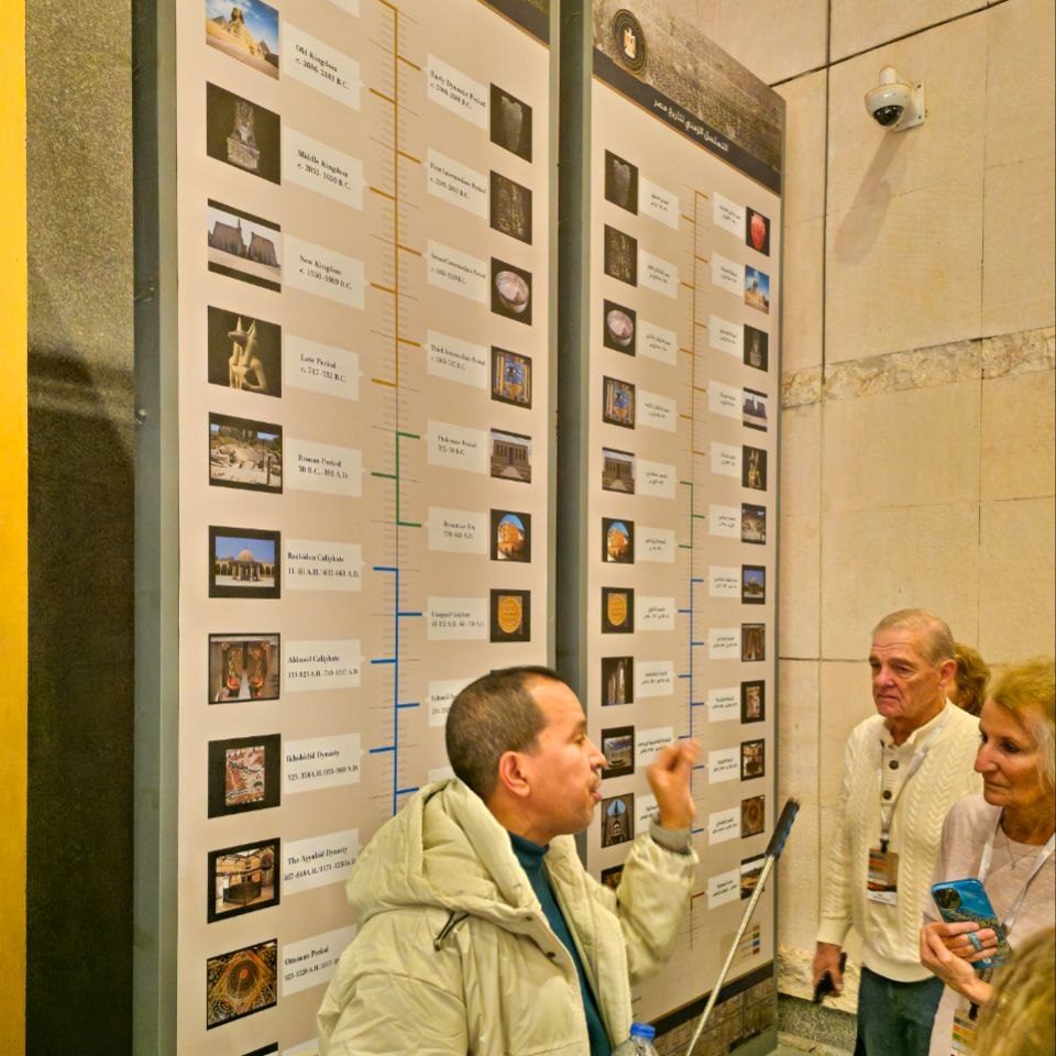
Our Egyptian guide gave us an overview of Egypt’s long history.
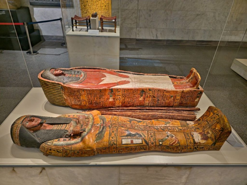
This is an example of a multi-layered carved wooden coffin. Sort of like Russian stacking dolls.
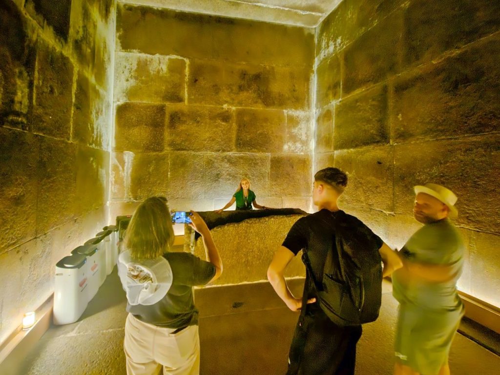
It felt like descending into a pyramid when we went downstairs to see the royal mummies. There were a dozen or more Pharaohs. Moses must have seen some of them when they were alive. We weren’t allowed to take pics.
I grabbed a pic of the Nile as we crossed. The dust storm really reduces visibility today. Apparently they don’t get many storms like that. There also was some flooding.
April 3–We started the day with background on Egypt and Moses. Egypt had the Nile for water, agriculture, and transportation. Egyptians were traditional, and the afterlife was highly important to them.
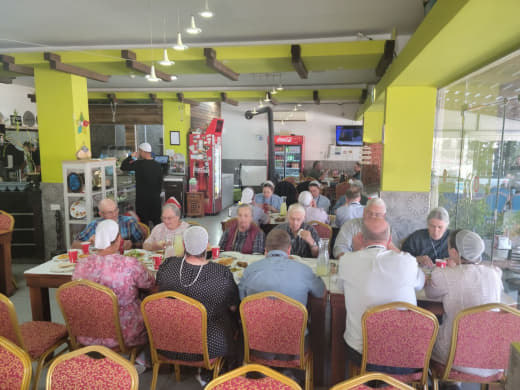
Lamb and chicken for lunch. Julia likes the stuffed grapes leaves, but I figure there’s enough good food without them.
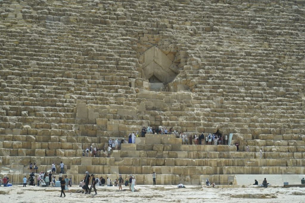
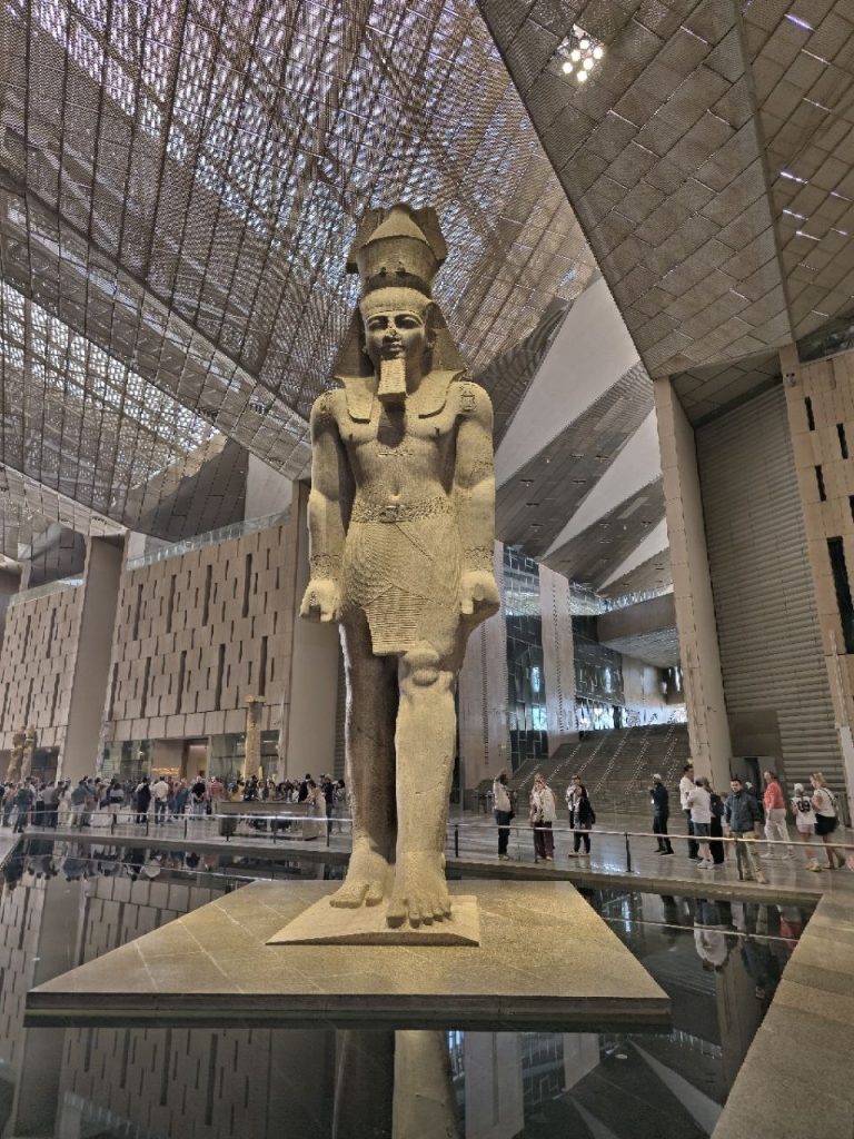
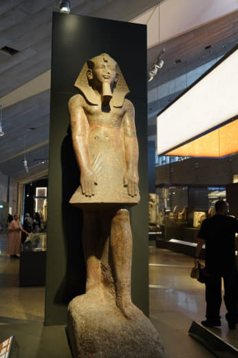
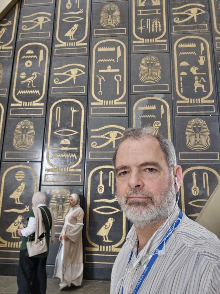
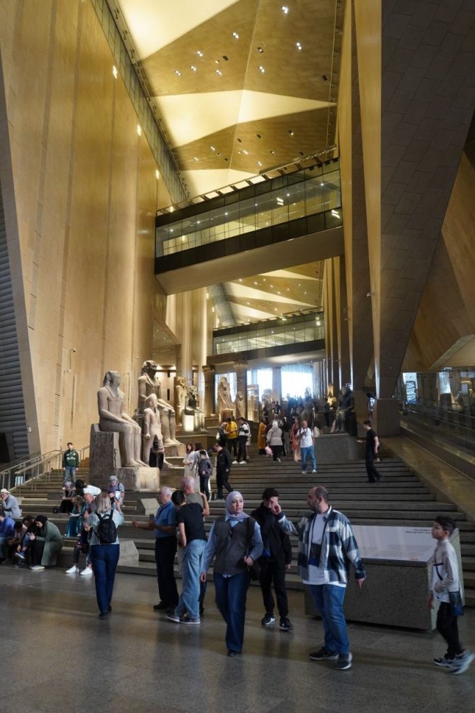
We’re in the new Grand Egyptian Museum. On the left, Ramses II statue, 83 tons, 3,200 years old. On the right, statue of Amenhotep II. Some evangelical scholars consider him the likely Pharaoh of the Exodus. It could fit with an early-date Exodus, which fits a literal reading of 1 Kings 6:1.
Wall of cartouches inside GEM, the largest museum in the world. In Egyptian hieroglyphs, a cartouche is an oval with a line at one end, indicating that the text enclosed is a royal name. Cartouches were worn by pharaohs. The oval surrounding their name was meant to protect them from evil spirits in life and after death.
View of Giza pyramids from the museum
The grand staircase leads to the entrance of the GEM.
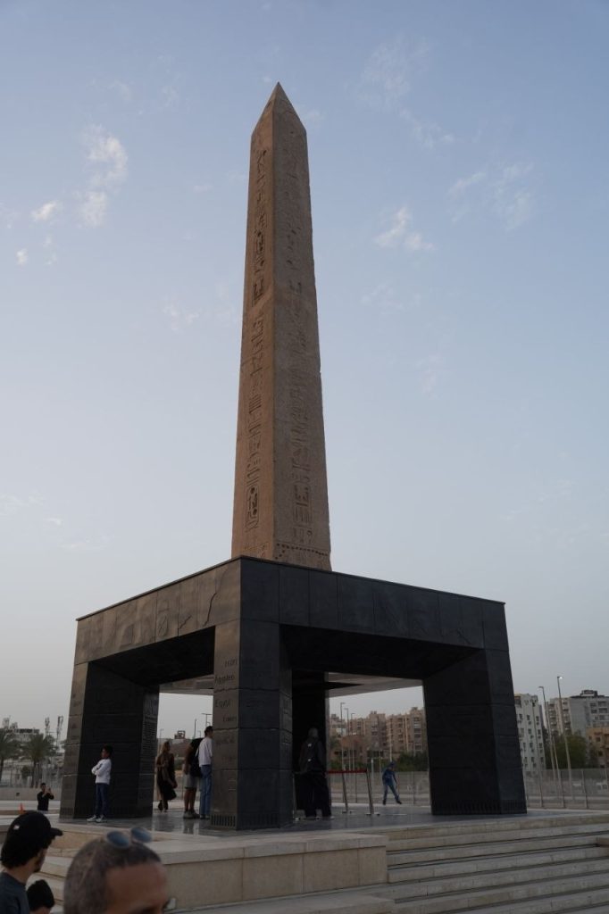
The only suspended obelisk in the world. The hanging obelisk of Pharaoh Ramses II.
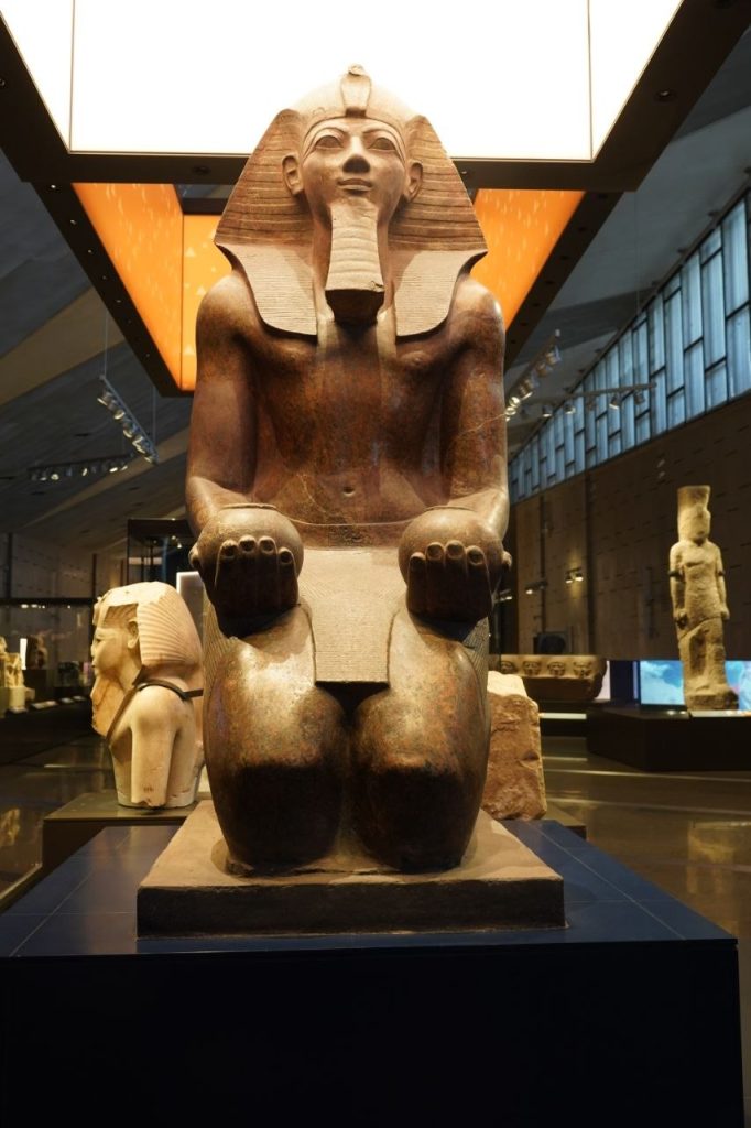
Hatshepsut, daughter of Thutmose I. Some early-date scholars suggest her as the one who rescued Moses from the Nile.
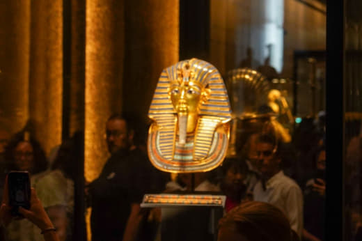
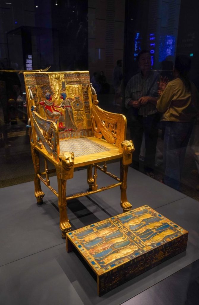
King Tut’s burial mask. Inside several layers of coffins. Remember the Russian stacking dolls.
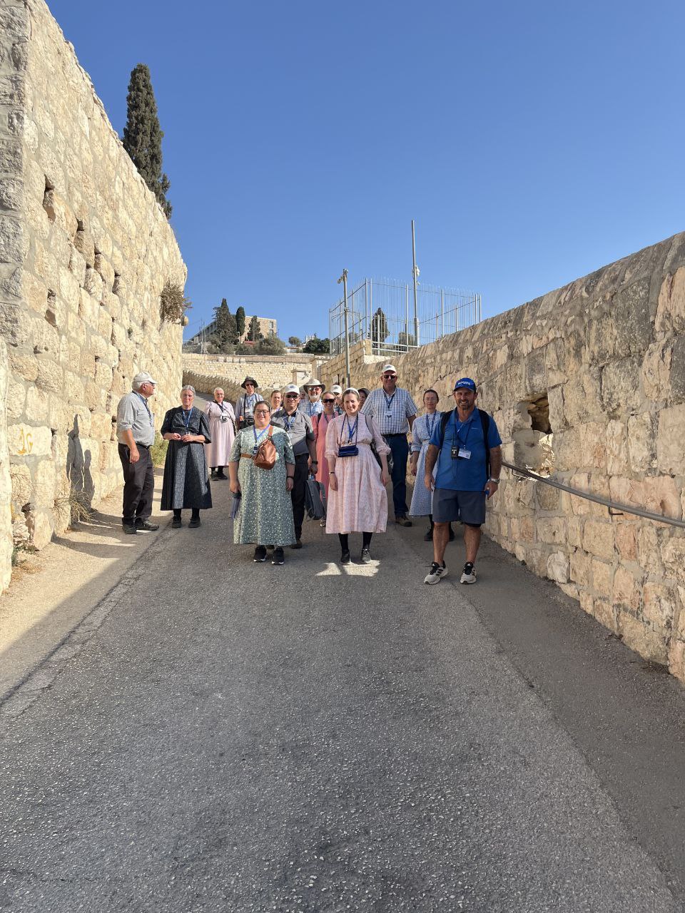
Today was a later start. We boarded the bus at 9:30 and were off on the streets of Jerusalem. Our first stop for the day was at the Garden Tomb. We walked through a lovely garden with native plants and on the back side of the garden there was a seating area. Our guide proceeded to tell us why this possibly is the site of Jesus’s crucifixion. They feel it is the Place of the Skull named in the Bible because the cliff face is in the shape of a face.
Then we continued through the garden past the wine press, another sign pointing towards a garden (vineyard). And now on to the tomb. We ducked to enter the tomb. First there was a small room that they feel was the room where they would prepare the body for burial and then to the right there was a room for two persons. An interesting fact I learned here is that outside the tomb there was a track where they would roll the stone to seal the tomb. It was a ditch a few inches deep to keep the stone from falling over.
After we were all through the tomb they led us to a small garden room where we had a time of singing and rejoicing, singing songs of our risen Lord and Redeemer.
Then we took to the streets and alleys and markets. The colors and scents were energizing; fresh fruits and vegetables, barrels of nuts, bowls of tea and spices, gelati, coffee, halva, candies, there was so much to see. Not to mention the pottery, lamps, camel leather products, prayer shawls and other souvenir kitchy things. We even found some fabric shops, much to the delight of the women!
Next they led us to an area where there were lots of small food places to choose from. We tried shawarma for the first time. It was rotisserie meat and they shaved about a cup onto your plate and then you had a choice of salads, olives, hummus and other toppings to add to it. Traditionally it all gets stuffed in a pita bread as a sandwich.
After lunch we walked to the Church of the Sepulcher. This is another possible site of Golgotha. Most people believe this is the most probable site, but no one knows for sure. The thing that is most important is that the tomb is empty and He lives! There is a Catholic Church built on the site and the Catholic people will come to kiss the stone where they feel Jesus was crucified.
Then we were off again to our underground tour of the western wall. It was fascinating to see all the unexposed portions of the western wall. I wonder how much more they will discover in years to come?
The day was coming to an end and some were ready to go back to the hotel and some were wanting to go back to the markets. So we split ways and kept everyone happy. But after another hour of walking the cobblestone streets the shoppers were very happy to board the bus and head back to the hotel as well.
At dinner back at the hotel we had a special time of sharing highlights and a time of blessing Aharon, our tour guide. He became a friend in the short time we were here and we are talking of planning an event in the States and having him come to speak.
Tour Guide, Group Leader, and Bus Driver
We have a 1:00 am departure in the morning and then a long day of traveling ahead of us. So long!
Early Tuesday morning at the airport
We had a short layover in Vienna with time for breakfast. Then the long transatlantic flight… It was a good tour with a great group of people!
Melinda Martin – At breakfast time this morning, there was an omelet station outside on the patio. The chef with his white hat and white coat had two frying pans, a number of dishes with two eggs each, and dishes with onion tops, chopped peppers, mushrooms, and cheese. He asked what you want in your omelette, put those things with the eggs, squirted a little olive oil into his pan and poured them in. He didn’t have an egg turner or anything. He just slid the omelet around by jerking the handle this way and that little bit, and then he started slipping it around, more and more, and suddenly he flipped upside down without using a turner. He let it cook for a bit, slid it around a bit more and flipped over again, just to make sure both sides were finished, and then he flipped out onto a plate. Quite intriguing to watch.
This morning they also had a fresh honeycomb, besides the usual eggs and cheese, fruits, veggies, dates and baked goods. The spread is amazing.
By 7:50 we were all on the bus except for our guides—Andrew, Julia and Aaron. When it was getting to be 7:57 and still no guides, we began to wonder if there were some problems that to be ironed out, but within a short time they both arrived and there was nothing wrong. We were off for the day.
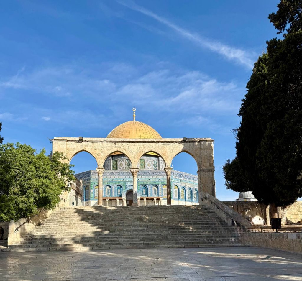
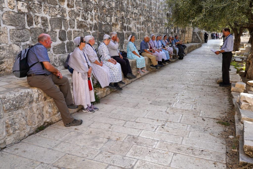
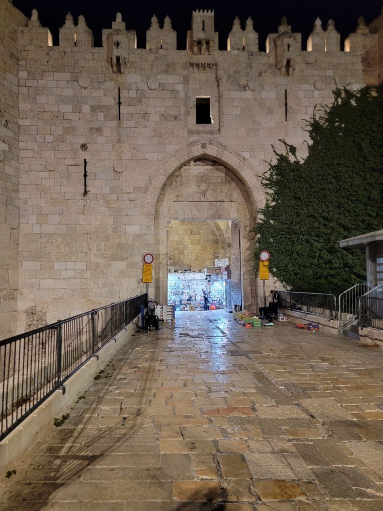
We went first of all to Temple Mount where we went in at a small gate beside the Dung Gate. We had to go through metal detectors to get in and then we had another checkpoint again later. Two checkpoints to get into the Temple Mount proper. We found a shady spot, and Aaron went over the building of the temple, the destroying of the temples and what that all means to the Jews. Aaron invited a group of people that was going through the temple on their own to join us while he “unpacked.”
They took our group picture (Aaron included) on the stairs going up to the Dome of the Rock.
We walked around the golden dome, which is the Muslim’s place of worship. The whole place belongs to the Muslims. They believe that the place was given to Ishmael, not Isaac. After the Muslims took over, until recently, the Jews were not allowed there.
We skirted along the perimeter of the Temple Mount and came close to the eastern gate (which was closed up by the Muslims). Here we had our own little worship service up on the Temple Mount. It was the first time that Andrew did such a thing. We were not supposed to really look like we were worshipping up there, because only Muslims are allowed to worship on the Temple Mount. We were not allowed to take any Bibles up there. If they would’ve found any in our bags, they may have confiscated them and we would’ve had to pick them up on the way out. Single papers are allowed, so David had a photo copy of the scripture he wanted to read. At one point a Temple police came up to us and said, “Are you Jewish”” We said, “No, Christian.” “OK,” he said and turned and left. I guess he caught on that we’re having a service. We had to keep our eyes open to pray, because only Muslim prayers are allowed up there, but Aaron said if we don’t appear to be praying, we may do it. Aaron pushed the line a little bit. He was pretty sure we could get away with it, and we did. A special experience to be worshipping close to the temple!
From there we walked through the Lions’ gate. We walked the Via Dolorosa (Way of Agony) — part of it at least.
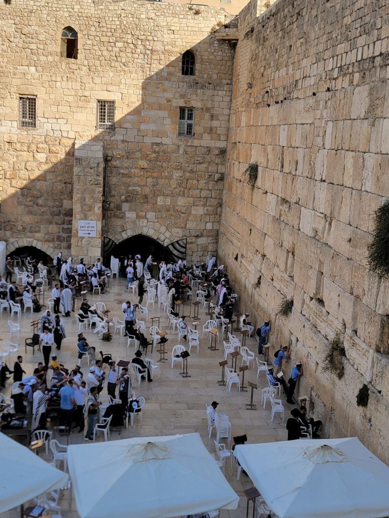
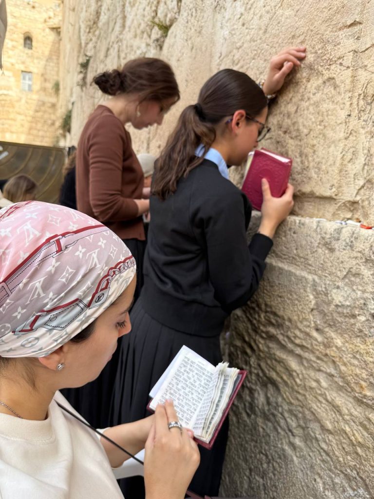
We went to the Wailing Wall or the Western Wall of the Temple Mount. Here is where the is the Jews gather to pray. It is segregated — a court for men on one side, women on the other side of the wall. We had about 10 minutes to touch the wall, pray a bit, and come back up to the appointed meeting spot. There were a lot of school girls in pink and black uniforms in there, so it was very crowded right up by the wall.
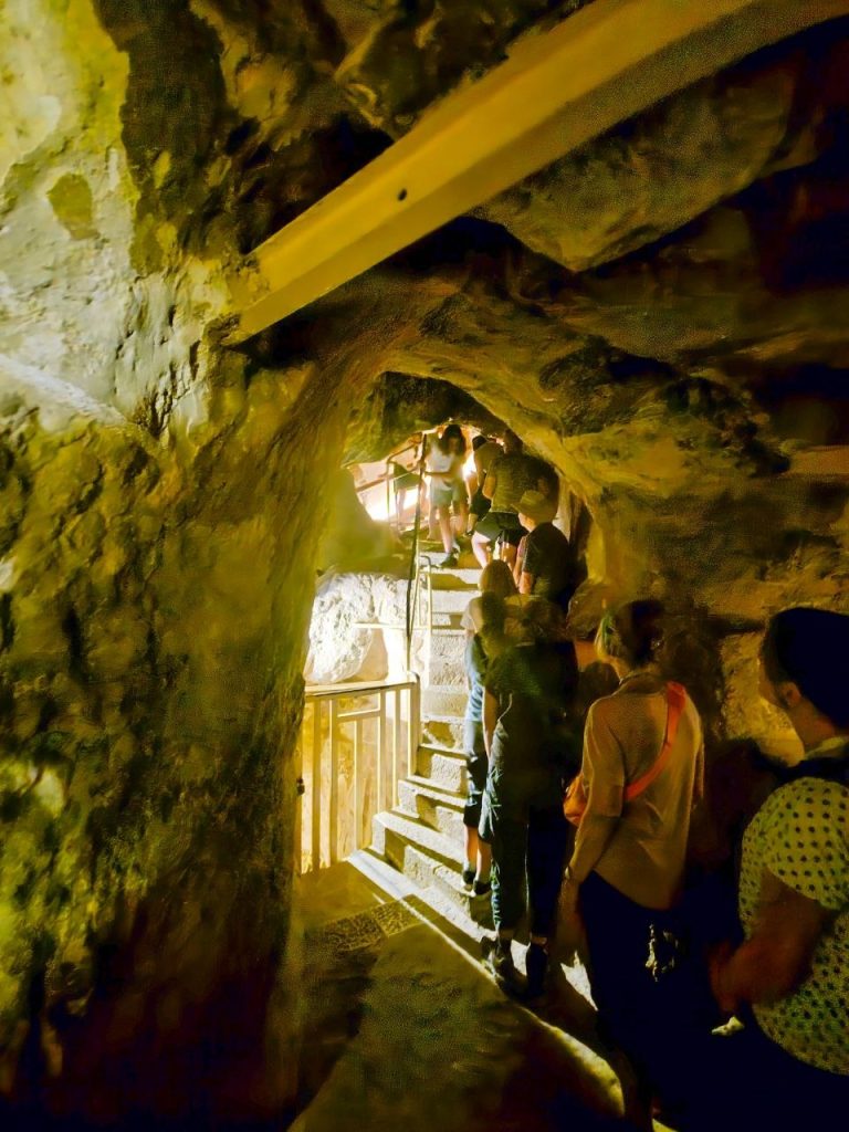
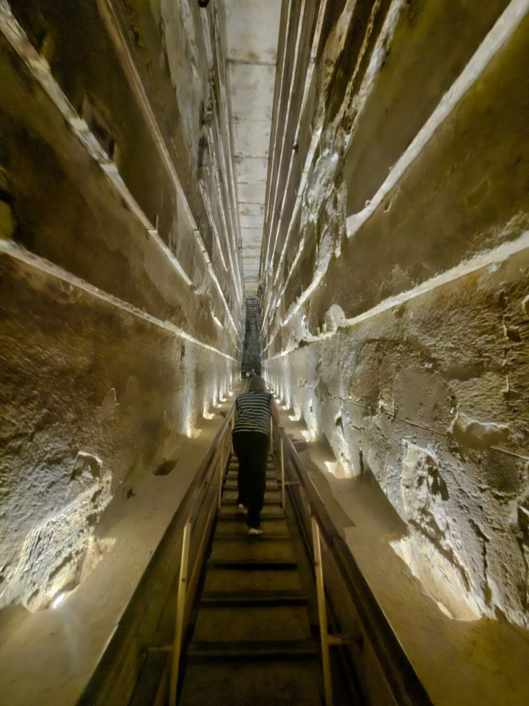
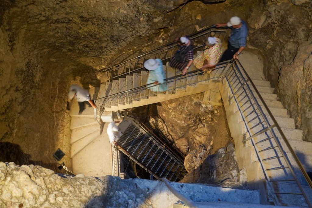
The guides had planned to go to the Pool of Bethesda and the church there, but it was closed so we could not do that. Instead we continued on to Hezekiah‘s tunnel that his men dug to bring water into the city. Hezekiah‘s tunnel was a long ways down. I didn’t count how many steps but it was down and down and down and down. At one point we all stopped and put our wet shoes on, and our walking shoes into our backpacks. Farther down we stopped again and saw the water tower that covers the spring whose water flows through the tunnel.
The entrance to the tunnel was a little steep. It wasn’t long, probably 2 foot slope. And suddenly we were thigh high into the cool water. Not terribly cold, because it never gets really cold here. The water was very refreshing but not icy. After 10 meters the water was just a little more than ankle deep. There’s no lighting down there, so everybody needed their own light.
Andrew said the strong ones should be mixed with the weaker ones, so that if there’s any trouble, there’s a strong person right there. Orville and Jean Graybill are the oldest couple with us. This celebrated their 52nd anniversary. I escorted Jean through. Their daughter Glenda came behind her father to make sure that he was OK. I was ahead of Jean. We took it at their pace, nice and slow.
The tunnel itself is very narrow. At the narrowest point I could not go through with my arms at my side. It was a little bit wider at shoulder high, than at hip high. I had to bring my arms up so that they could go through. At the shortest point I had to crouch down, my hand on my knee and lower my head just a little so as not to bump. I’m sure the biggest people in the group had a little bit of a challenge in some of those spots. The last part of the tunnel, a third maybe, was very tall, like they had to chisel it deeper at one point. Maybe after they had the tunnel nearly completed they realized that they didn’t have enough slope. Andrew said it slopes about a foot from one end to the other. I think it’s 500 meters long. At one point we stopped to sing one verse of “Open the Wells of Salvation.” There was another group coming from behind so we couldn’t stop long, there’s no passing anybody in that tunnel or not without quite some work. They started digging at both ends of the tunnel and where they met there was a bigger area that maybe two people, maybe three people, could stand in one spot. Otherwise it was single file. We also sang “Channels Only” and “Rock of Ages” as we walked along. It rang beautifully. When we exited the far end we came out at the pool of Siloam. They’re doing excavations there to discover the whole pool. There are some of the original steps going down to the pool that have been exposed.
Tarek picked us up after the pool of Siloam and drove us up to the gate of the Old City. The Old City of Jerusalem is divided into four parts—the Muslim Quarter, the Jewish Quarter, the Armenian Quarter and the Christian Quarter. We entered by the Armenian quarter and walked to the Jewish quarter and had lunch there. There was a variety of shops to choose from.
After lunch we went to the Shorashim Shop, where the shopkeeper locked the door, kept other customers out, and gave us all stools to sit on. He explained a few things about the orthodox Jews. The reason that some of them have those long forelocks is because of the Bible verse that says they should not shave the corners of their beard. Instead of just not shaving the corners of their beard (sideburns) some people choose not to trim that hair at all, they just let it grow. He admitted that it looks silly, but that’s their interpretation. He gave a chance for anyone to ask questions.
Next we walked to the Hurva synagogue, which means “ruined.” It has been rebuilt and reopened in 2009 for the third time. The architecture is beautiful. Aaron took us up the stairs, through the women’s section, and then up another flight of stairs, out onto a roof top, and up a circular set of wrought iron stairs built around a center pole, up to the catwalk below the roof, around the round dome of a roof.
We jokingly coined a new phrase for ourselves this trip. Instead of breathing down each other‘s necks, we breathe down each other’s heels. Often we are at head to heel level, going up stairs, climbing up mountains, up trails, one person’s head is at the heels of the one he is following.
We had a walk around the outside. We had a beautiful view of the city of Jerusalem before we went inside. We had a view way down into the synagogue. There were men praying, and it looked like maybe some men and boys were studying the Torah. I don’t know for sure what they were all doing. While we were up there, Tova came in. She had been a guide for Andrew and Julia on one of their first visits. She wanted to take us to a special overlook of the Temple Mount and the Mount of Olives.
She guided us down, through some private residences, and up to another overlook where she explained the temple some more. She had about five minutes for what she wanted to say. We took a group picture up there and then she led us down many flights of stairs again, along the path that we were going to take to the southern stairs, but she stopped off at the Aish synagogue to have us look at the blown glass piece of art there.
Tova left us there, and Aaron was our guide again. We walked to the southern stairs. The gate Beautiful at the head of the stairs is shut up. Some of the stairs have been reconstructed since Herod’s temple, but there are still some of the original stairs, so we had the chance to walk where Jesus walked; place our feet where He placed His. We sat on the stairs, and Aaron expounded on things that happened at that spot. He believes that this could be the spot where the Holy Ghost was given. He brought out comparisons between the first Passover, and the giving of the law 50 days later, and then fast forward to Jesus’ time, the Passover and 50 days later the giving of the Holy Spirit. In the giving of the law the commandments were written in stone with the finger of God, and according to tradition it was manifested as a flame of fire. The Holy Spirit descended and was evidenced as tongues of fire.
After we sang “Come Gracious Spirit,” we could explore around the steps a little. Next we went to the Robinson arch where we could see the original Western wall at the north corner of the Temple Mount. The wall is more of the original stone structure than elsewhere. The original blocks of stone were probably 4 feet long, averaging 2 to 3 tons. Each block has a frame chiseled around the edges.
Have I ever mentioned that all of Jerusalem is built with a sandy white limestone? And the sun is very direct, so it makes for a very bright city, very bright surroundings.
We also saw where there were rocks that were still left from when the temple was destroyed, and pushed over the edge of the temple mount. These stones were just helter-skelter. They were on top of each other, but not the way they were supposed to be. Not placed nicely. Reminded us of what Jesus said, that “one stone shall not be left upon another.”
We had a little bit of time to explore the Mikvahs (ritual baths) that were around there. There are many. There is one well preserved ritual bath where they would walk down the stairs on one side, walk through the water and then walk back up on the other side of the stairs, in a cleansing ritual.
We made our way back to the street out through the Dung Gate. We waited for our bus to come. Right about then there was a lot of traffic – a lot of people, school children, police girls —girls that were training to be police —that were in the bus stop area.
There were a few buses that were just sitting there, waiting for passengers but their passengers were nowhere around. By the time Tarek came, there was a spot right in front of us where he could pull in and pick us up and bring us back to the hotel.
We got back to the hotel around 4:15, some of us weary to the core. Lafaye clocked 14,300 steps, 4.8 miles today.
Supper was served in yet a different dining room than what we had supper in before. I heard one of the managers say, “You have to eat dinner in a different room every night. It improves the appetite.” After supper the ladies all gathered out on the patio and the men gathered on the opposite side of the glass wall, and we had a time of visiting and sharing together. We all shared what was special to us, and highlights of the trip. It was very enjoyable.
LaFaye Hurst – Today was a later start. We had a relaxed breakfast and boarded the bus at 9:00. Our bus driver is never late and maneuvers through these narrow Jerusalem streets like a pro! He lives in Jerusalem so he is very skilled.
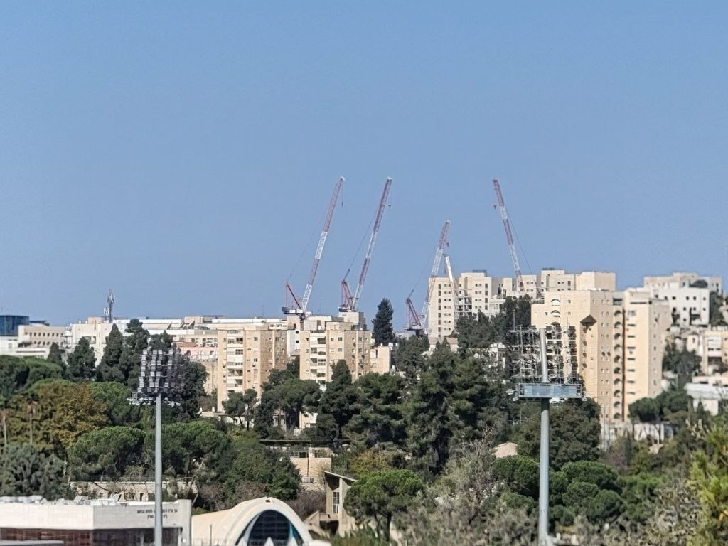
Our first stop was at the Israel government building. It would be similar to an American Congress. Israel has a Prime Minister which would be like our president. We spent time touring the grounds and hearing about the Israeli government and past history.
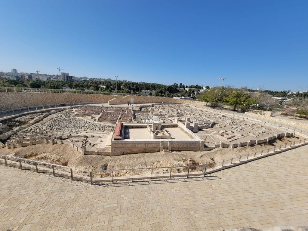
Then it was just a short jog across the street to the Israel Musuem where there are many artifacts. We spent the majority of our time in the Israelite period of time, looking for the artifacts of the places we had visited on this trip. We also spent time at the section on the Dead Sea Scrolls. Then we stepped outside to the large, but very detailed model of Jerusalem. Our guide walked us around the model and pointed out points of interest.
Model of Jerusalem
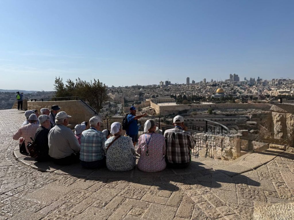
Lunch was in a restaurant with a birds-eye view over Jerusalem. We had kabobs and fries, a very traditional Israeli dish.
After lunch we sat at an overlook for a time of teaching on God’s love for Jerusalem and we had a special prayer for the people of Jerusalem. I can just picture Jesus overlooking the city and His heart aching for the people to turn to Him. O Jerusalem, Jerusalem, thou that killest the prophets, and stonest them which are sent unto thee, how often would I have gathered thy children together, even as a hen gathereth her chickens under her wings, and ye would not! Matt 23:37
Next it was a walk down a steep hill called the Palm Sunday Path. It was a narrow road lined with high walls dripping with beautiful bougainvillea. We tried to envision Jesus traveling down this road riding on a donkey with palm branches strewn along the way.
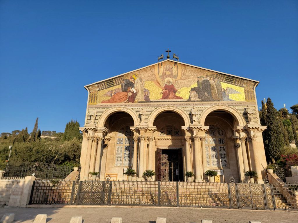
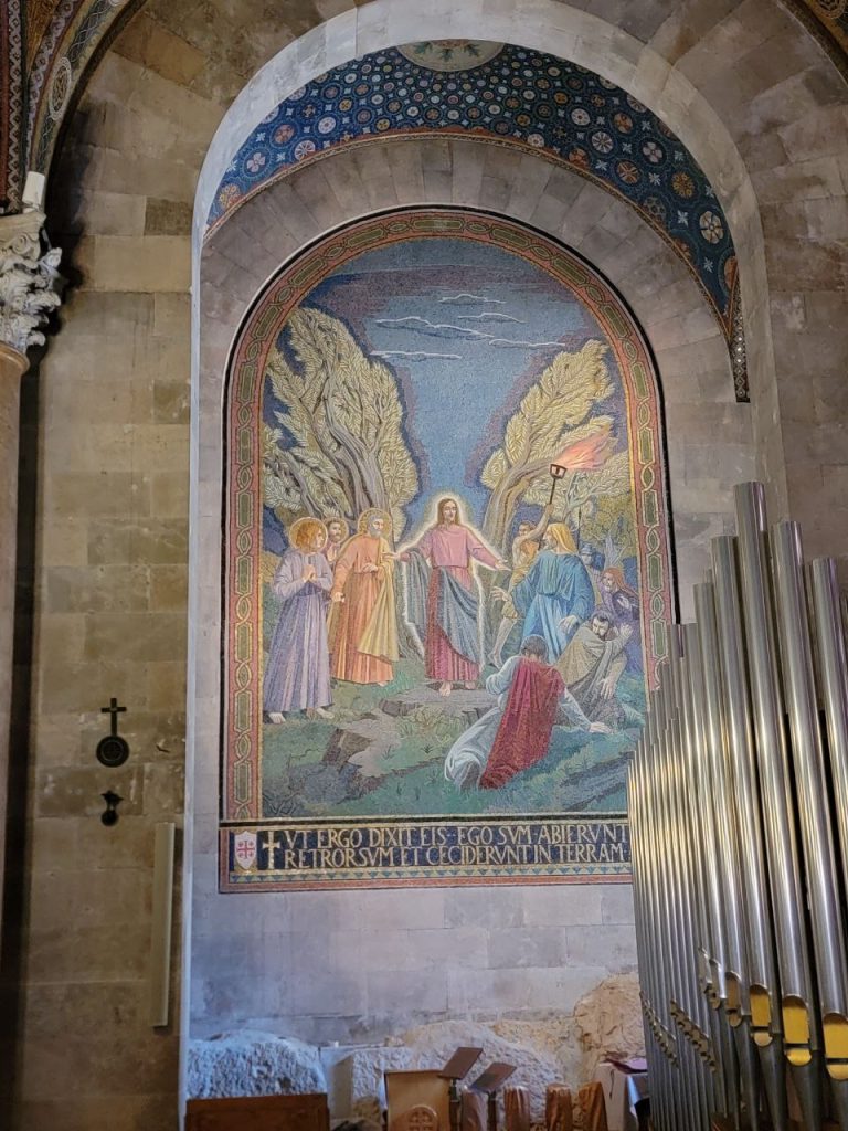
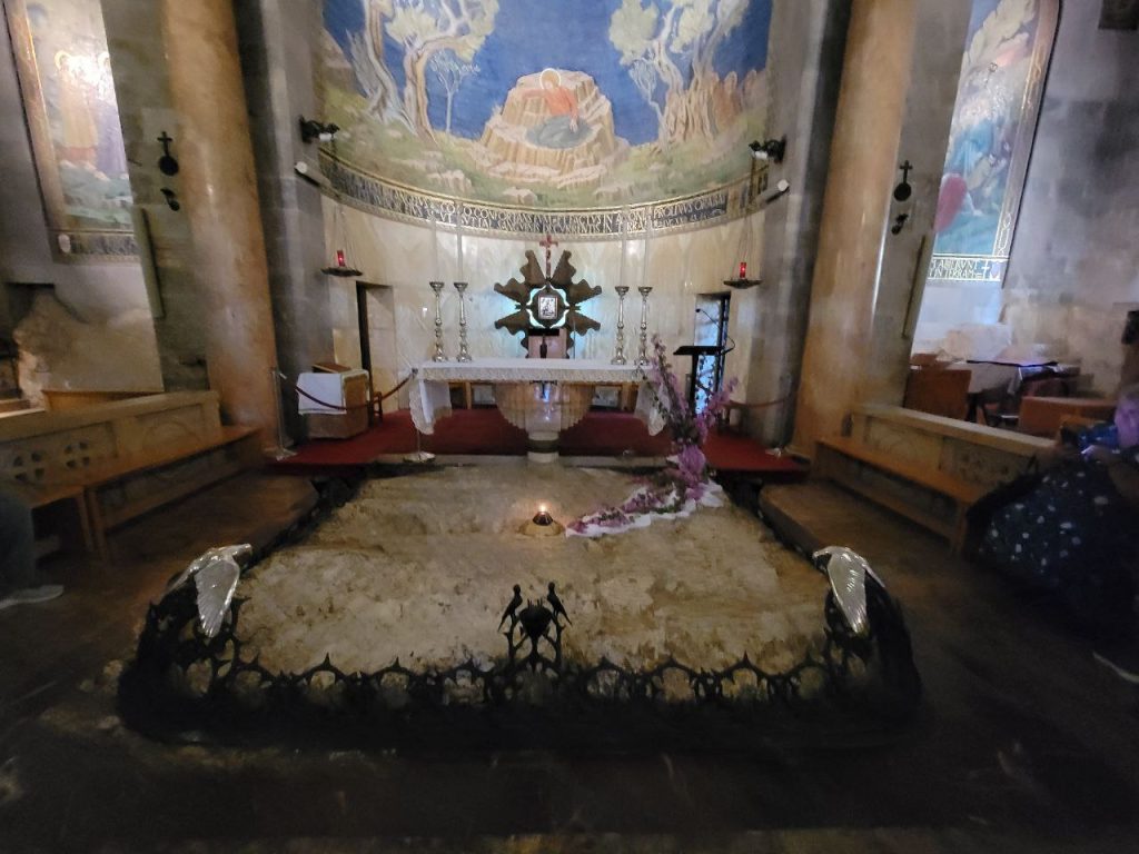
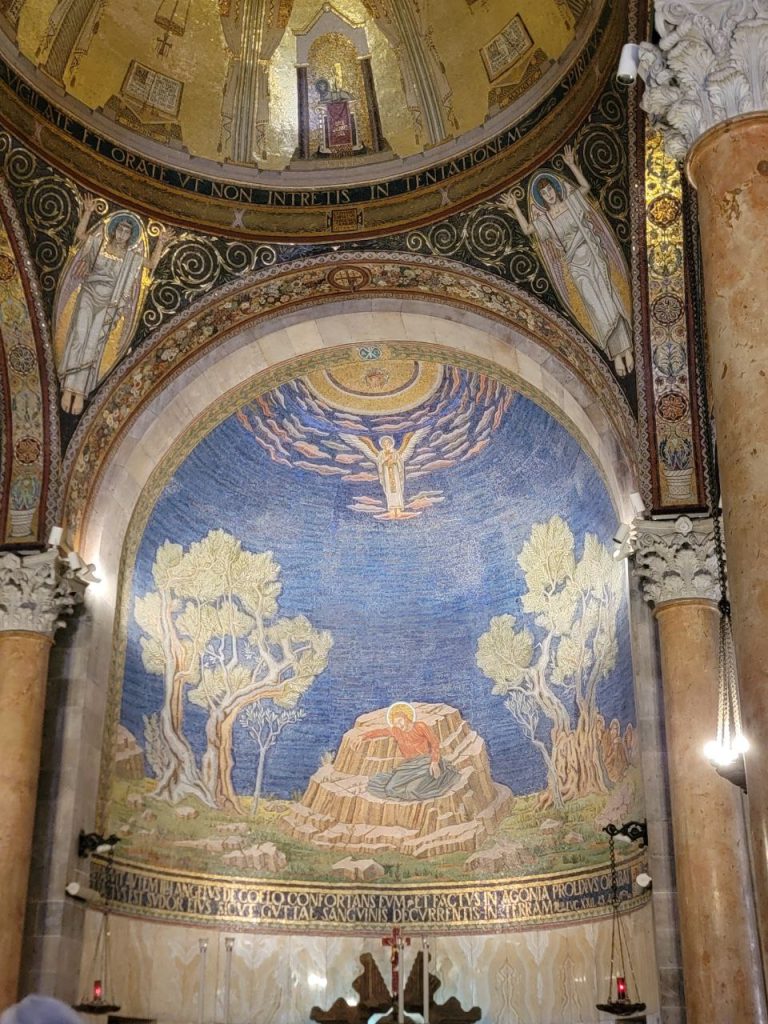
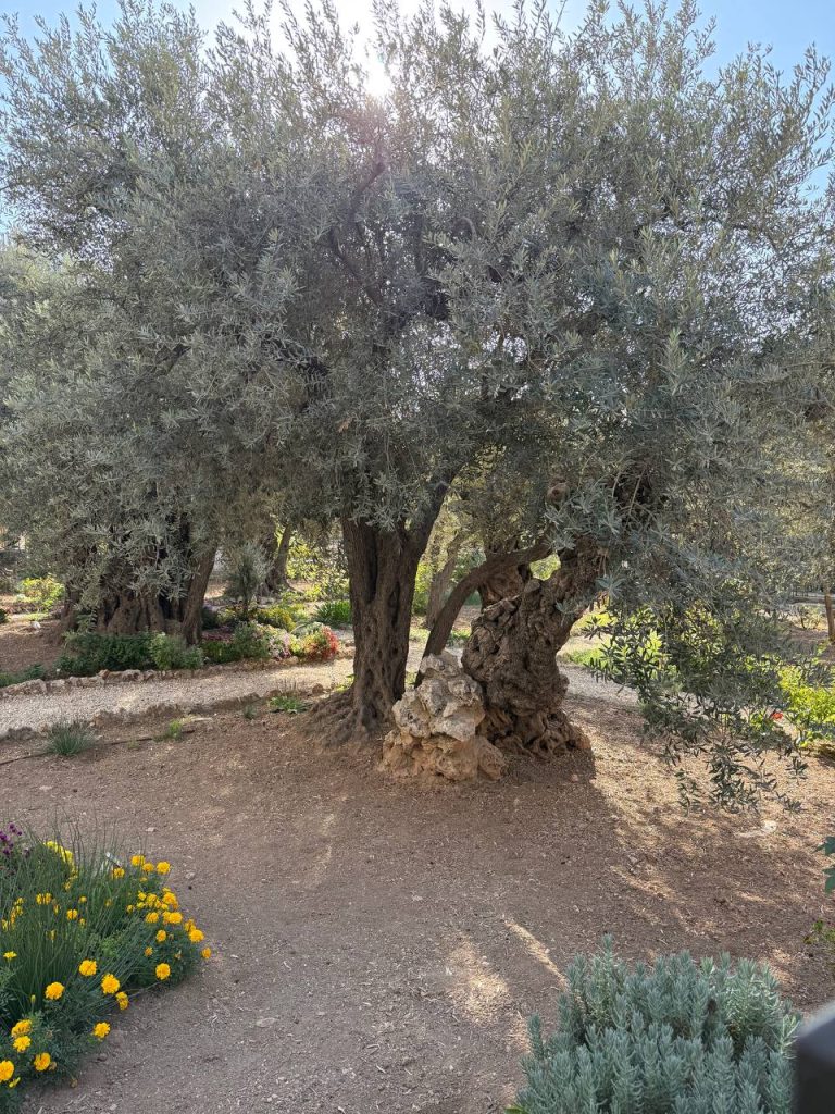
Almost at the bottom of the hill we stopped at the Garden of Gethsemane and the Church of all Nations. Here we sat down for a time of teaching on the suffering of Jesus. After a time for pictures we crossed the street to a private garden where we had a worship service led by Andrew and a time of singing, reflecting on Jesus’s suffering in the garden. I was challenged by the thought of Jesus’s disciples not being able to stay awake and stand by Him in His time of agony of soul. May we stand with our brothers and sisters going through difficult times and not turn away from their pain and suffering.
Then it was back to the hotel for a time of resting and supper. After supper we set out for an adventure by tram to Ben Yehuda Street. It was sundown, just as Sabbath was ending and the Jewish people were out to socialize. Families, groups of teenagers, the elderly, all out strolling, playing games or just standing around chatting. It was a great place for people watching!
Melinda Martin – We rode into Jerusalem in the dark last night, but we could see the lights of the city as we entered. We saw protesters like a flock of penguins in their black-and-white suits, (an Aaron joke) leaving the city by the scores, by the dozens, by the hundreds they were flocking to the buses.
This morning after a breakfast similar to the other hotels — several kinds of eggs, many kinds of cheeses, lots of different kinds of fruit, a variety of baked goods, we set out for the day.
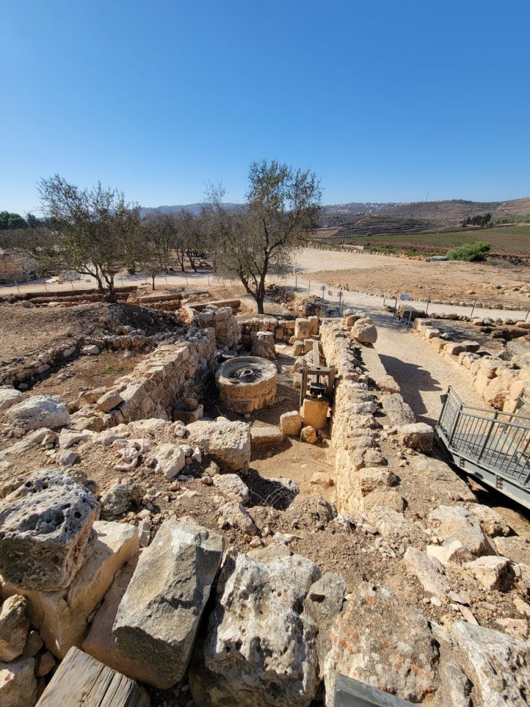
We drove to Tel Shiloh in the daylight. It was a beautiful view, uphill, and downhill. Some hillsides were terraced. Tell Shiloh is where the Tabernacle was set up when the children of Israel settled in the land of Canaan. The Philistines destroyed the tabernacle in the prophet Samuel’s day. This is also where Andrew has been helping with the archeological dig and has helped uncovered a corner of what they believe is the Tabernacle foundation. It was interesting to hear Andrew describe how the archaeological dig is done, how they brush with fine brushes, and sift the dirt to find small objects.
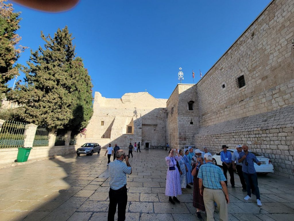
From Shiloh we went to Bethlehem. It was probably a 60-minute drive. On the way Aaron told us about the sacrifices. Jesus is the perfect sacrifice. He also expounded why the Jews will not eat blood — because the life is in the blood. He explained how they make it practical.
Entering into Bethlehem was quite an experience. Tarek again showed his expertise, going downhill on winding streets that were just barely wide enough for a bus and a car to meet without scraping each other, or the limestone buildings on either side.
We went to a restaurant for lunch. Our food was preordered. Our group was the only people in the restaurant. They said they haven’t had business for two years because of the war. They depended heavily on tourism before this. It was a delicious meal, with the salads and french fries, grilled chicken and what I believe in Bulgaria would be called kebabpChi – a delicious sausage shaped, spiced ground meat.
When we arrived at the restaurant, a man Aaron introduced as Dio climbed on the bus. Aaron gave him the mic that hangs around his neck and told us that he was going to be with us for the afternoon. I had seen a sign on the way into Bethlehem that said that Israelis are not permitted past this point, but Aaron went in so I didn’t think anything much of it, but apparently he did go back to the hotel after we were done at the Olive factory because Israelis are not permitted in Bethlehem. Bethlehem is under Palestinian authority and therefore Israelis are not permitted there.
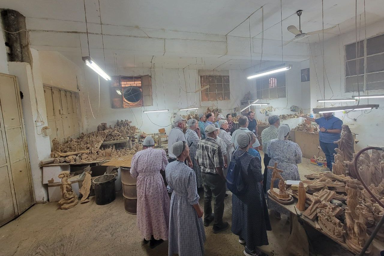
After lunch, we went to the olive factory close beside the restaurant. The grandson of the founder showed us how they carve olive wood into figurines. Hand carved items can take up to four months to complete. They also have a copy machine that they can make copies faster than that. In the gift shop they were high-pressure salesmen to some of our group. It was beautiful work but expensive in some ways. They did also have some things that were not wood carvings. I found a bottle of Spikenard there like Mary anointed Jesus’s feet with. Supposedly anyway.
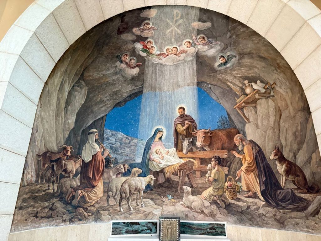
After the olive wood factory, we went to a Basilica where, in the basement, they have what they claim is the cave where Jesus was born. It is a basilica that three denominations claim — the Armenians, the Greek Orthodox, and the Roman Catholics. In the Armenian section there were beautiful mosaics on the wall with gold on it. Each denomination has their own auditorium so to speak, so it is a very large building. Also the cave that Jerome translated the Vulgate Bible in, is in this huge expanse of a church. It was something very rare—the keeper of the key unlocked the cave and allowed us to go down into the cave so we could see it.
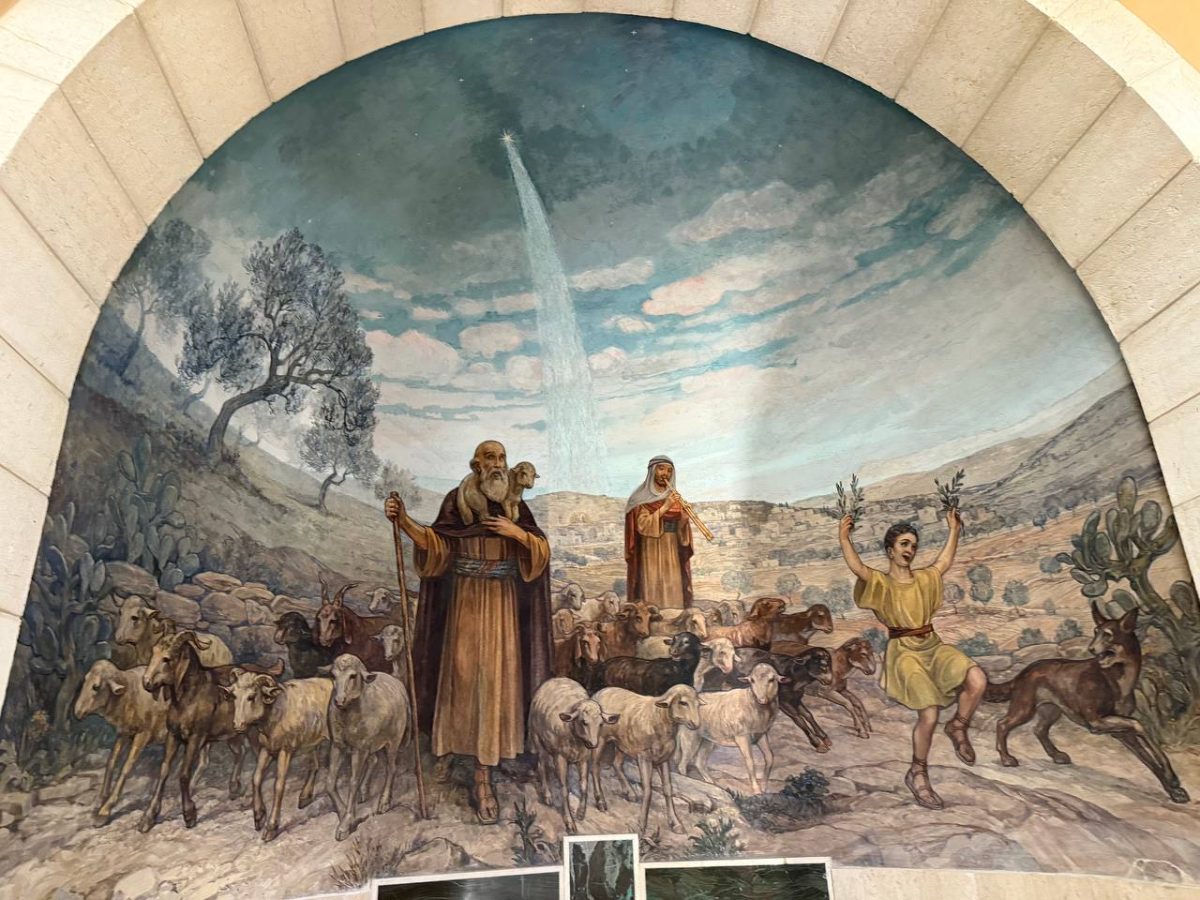
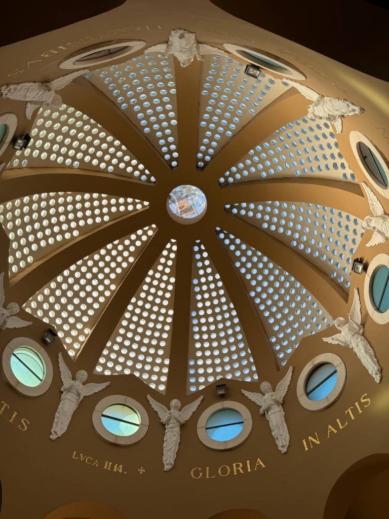
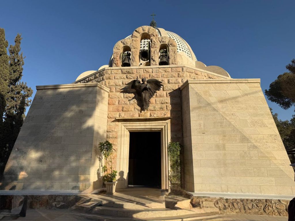
From there we went to the Shepherd’s Fields, where the Catholics also built a cathedral. We were going to see some other things there besides the cathedral, but it was busier there and we would have had to wait in line so we did not get to see the other things. And right now, I can’t remember what they were, but we saw the cathedral and sang two songs in there. When we were singing “Silent Night” another tour group came in and joined in to help us sing. It was beautiful.
Then we had to hurry back to the restaurant where we had lunch, get freshened up, and go to David and Devorah Katz’s place for a Shabbat meal. On the way there, a police officer pulled Tarek over because they claimed he had run through a red light. He is sure he had not, and the police did not give him a ticket. Tarek figured probably it was because it’s Shabbat and the policeman wanted to go home. Then we had to stop at the checkpoint because we were going into the West Bank, which can be a hotspot. The army official spoke to Tarek but did not come onto the bus.
The Katz family lives in a gated community. Only Jews live in their community. We got off the bus outside the gate and waited for David to come meet us. We walked with him past their house where his wife joined us, then to the synagogue. When we arrived at the synagogue, the ladies walked up a ramp, and the men went in at the bottom. We went to their balcony. And sat on pews—chairs actually —that flipped down to be sat upon, and as soon as you stand up, they flip back up. We were there for their singing and prayers, but when the rabbi was going to speak they ushered us out.
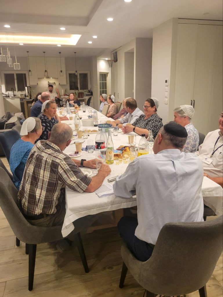
We went back to their house and had a lovely meal together. First, they poured wine into little individual cups and had a blessing prayer over them and passed it out. Then they had a blessing over the bread and passed the bread out. With the bread there was hummus, and eggplant salad, pepper salad and olive oil. After the bread was eaten, they brought out soup—chicken broth with a little bit of carrots in it and a nice big, walnut size dumpling. After the soup, they served a rice and quinoa salad, kebabpChi, and chicken. After visiting a while more they brought brownies and cookies for dessert.
Some time along the line, they asked us to sing two songs. One was “The Lord is my Light and My Salvation.” The other was, “Oh Lord, my God…” They seemed to appreciate it. Their two oldest children were both at home, the three youngest were not. The oldest son was in the special unit that was deployed first on October 7, when Israel was attacked two years ago. He suffered trauma when 9 out of 14 people in his unit were either killed or wounded. But he was uninjured.
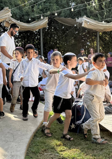
A special party for 6-7-year-old boys who were receiving their first Torah
It was arranged that we would be meeting Tarek and the bus at 8:30, so soon after we were done eating (and done drinking tea for some of us) we needed to head back to the bus. The whole family walked us out to the bus and said goodbye to us out there. The bus could not come into the community. We needed to walk a few blocks outside the gate to meet the bus.
LaFaye Hurst – This morning I awoke to the sound of birds and the scent of plumeria. Today is the day we leave the Sea of Galilee and head to Jerusalem. Part of me is sad to leave this beautiful seaside spot but our adventure continues and we must go!
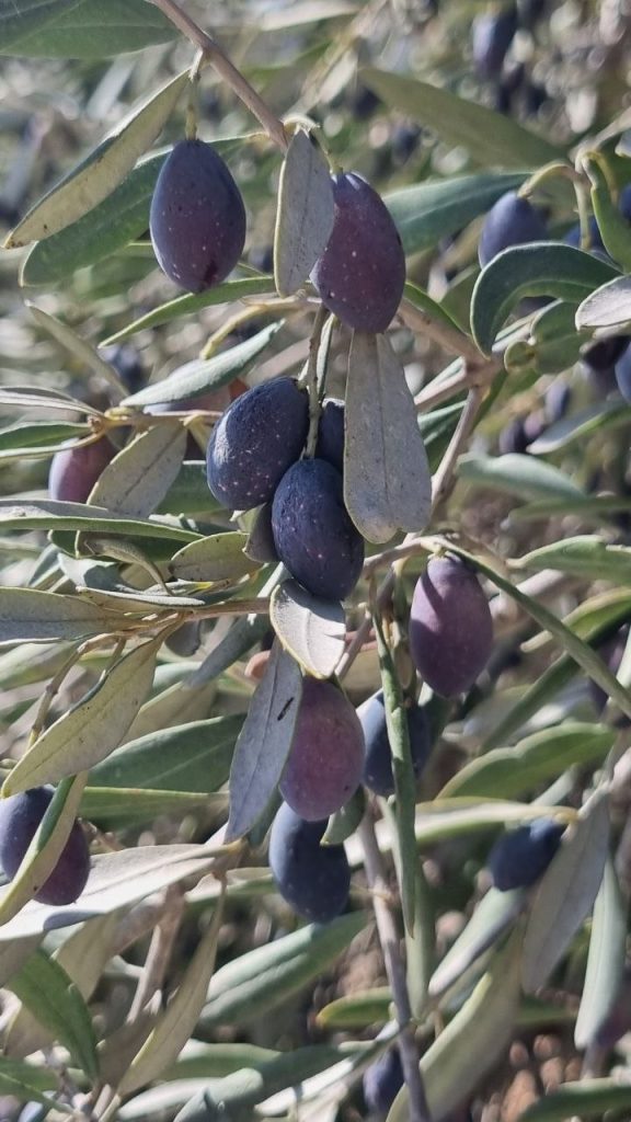
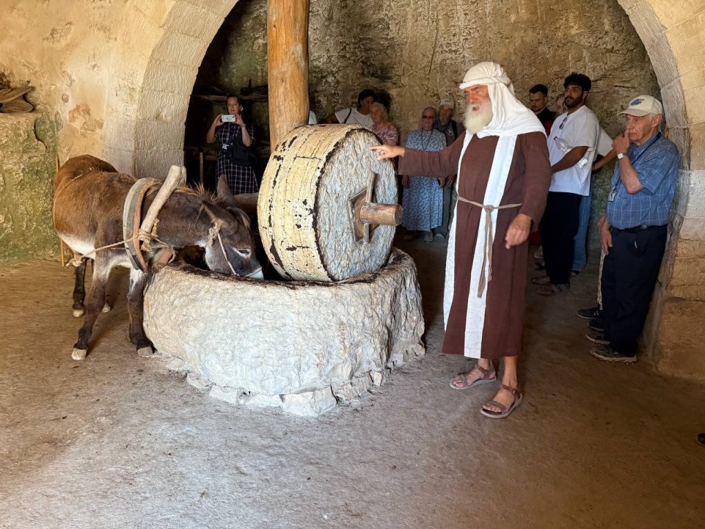
After saying good-bye to hotel staff and loading our suitcases we were off to Nazareth. This was an outdoor living history museum with costumed enactors. We learned about wine pressing. Did you know that the reason they pressed the grapes with their feet was to avoid crushing the seeds? The seeds are too bitter for good wine. We also learned about yarn making and weaving, as well as tool making and pottery throwing. Then we also had a lesson on olive oil crushing. First the olives, both green and black were crushed by a millstone powered by a donkey. You could hear the pits popping under the pressure, that’s where the good oil is, and then the mash was put in baskets and pressed three times. After the first press, this was the best oil, to be given to God. After the second pressing, this was for human consumption. The third pressing was nearly a ton of pressure, this was for lamp oil. Our guide drew a parallel to Jesus in the Garden of Gethsemane. In fact, Gethsemane means “oil press”. We concluded in the synagogue where the guide showed us a replica of a scroll.
Our next stop was Tel Megiddo. This Tel is 20+ layers, so it was rebuilt on top of ruins 20+ times.
Next was lunch at a Druze restaurant. It was a buffet meal with delicious Israeli food.
Then it was up the mountain to Mt. Carmel. With a beautiful panoramic view we stopped to talk about Elijah and the prophets of Ba’al. This story happened on Mt. Carmel.
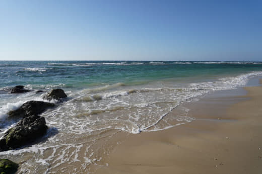
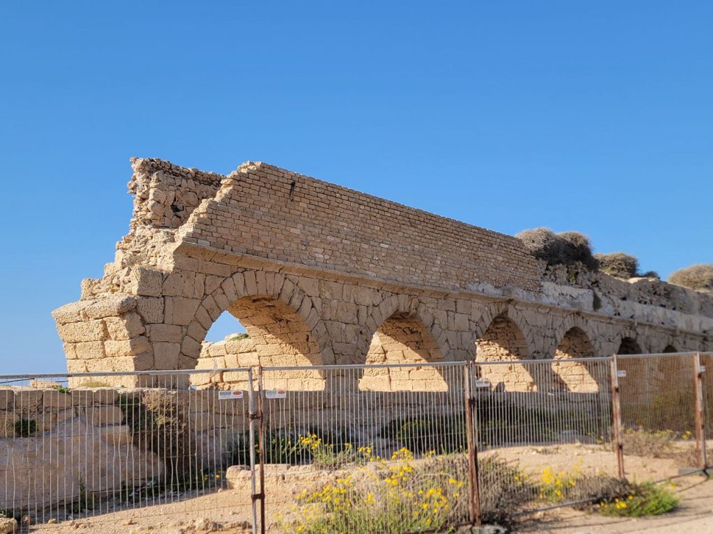
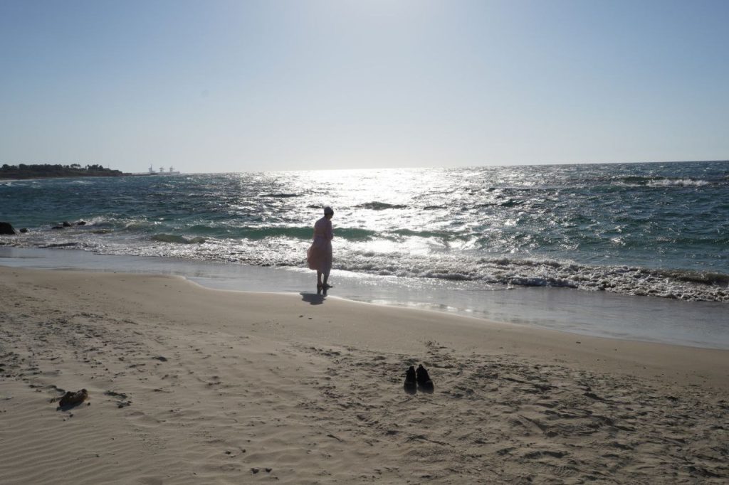
Then it was on to the Mediterranean Sea. First we stopped at the remains of an aqueduct built by King Herod. This aqueduct was 16 kilometers long, bringing fresh water to Herod’s palace. We enjoyed finding smooth rocks and pottery in the sand and envisioning it as part of Herod’s palace. Then we visited the palace ruins. These are 1st century ruins from Herod the Great. He had multiple palaces and this one was right by the Mediterranean Sea. We sang a few songs in the amphitheater before leaving. The ruins are all starting to run together, but this one was definitely the largest that we have visited.
Next we set our eyes toward Jerusalem. Traffic was heavy around Tel Aviv and as we entered Jerusalem we encountered a large protest. There were thousands of Orthodox Jews, men and boys in traditional attire in the streets and sidewalks. The government recently made a ruling that the Jews need to participate in the military and they were protesting in Jerusalem. We finally got through and on to our hotel where we will be staying for the next five nights.